09/10 Ryan’s “Francine Latest” Tuesday Morning Forecast
Francine continues to develop, and should be come a hurricane later today.
Tropical Storm Francine developed before noon yesterday, but didn’t significantly organize overnight. Throughout yesterday though the forecast intensity of the storm did increase, with a 100 mph Category 2 landfall expected in Central Louisiana. The overall path hasn’t changed much, seemingly wiggling a bit west yesterday and a tad back toward the east overnight. I urge you not to focus too much on that line, instead focusing on the local impacts that’ll differ from house to house.
If I had to put a label to it, I’d say we’re looking at the equivalent of a tropical storm landfall in South MS. I expect tropical storm force winds, which range between 40-74 mph, which aren’t “impressive,” but can cause plenty of roadway and power outage issues. We’re under a Storm Surge Watch, with between 1-3 feet expected during landfall, though some more extreme forecasts have estimated upwards of 3-6 ft, which I see as very unlikely. Still, couple this relatively small increase with our early morning tides, and we could see the water level increased problematically in bays, harbors, and near coastal homes.
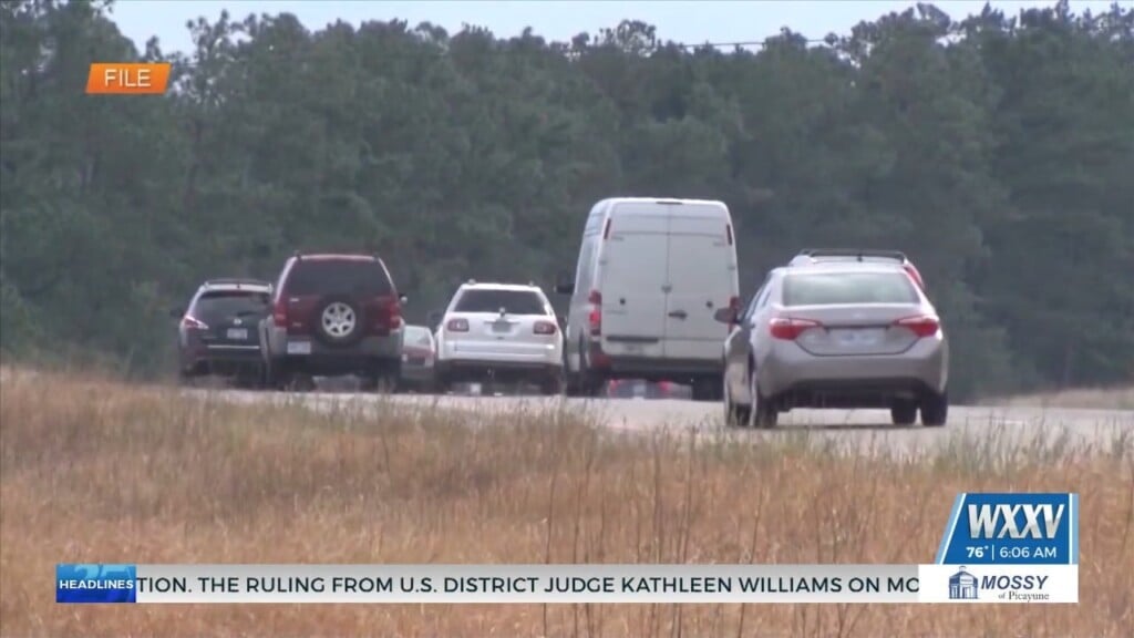
I expect our most obvious problem to be consistent rain today through tomorrow, with estimates ranging 5-7″ across the area. We also can’t rule out “spin-up” tornadoes embedded in the bands as they move in, but this seems to be a bigger problem to the east of us as turbulence increases and dry air works its way in. We’re a couple of hours away from the next NHC update, so be sure to stay tuned to WXXV News 25 here, on social media, and on the air throughout the day for the latest.