08/30 Ryan’s “Coolest & Wettest” Friday Morning Forecast
Even more rain means another "cooler" day, but it won't be a complete washout.
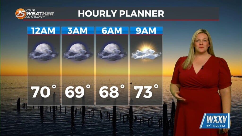
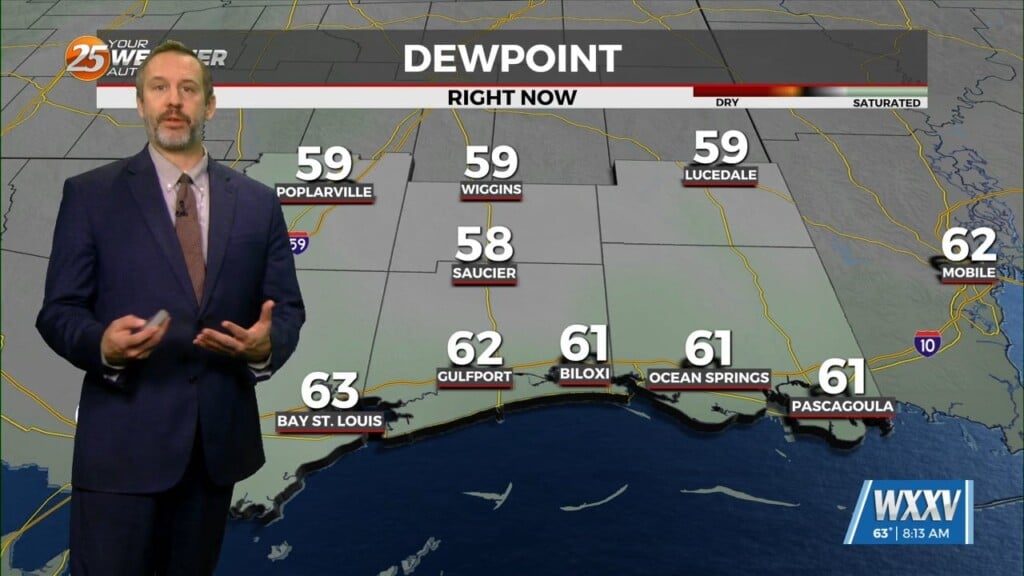
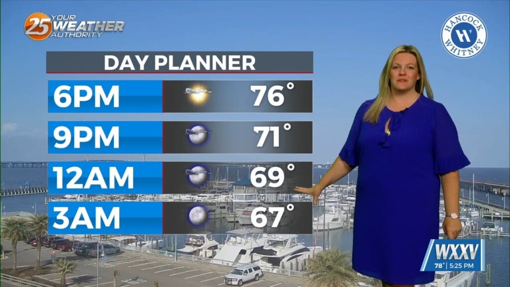
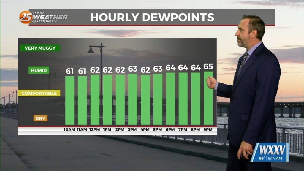
I’ve been talking about it all week, and it’s finally here…the coolest day of the week! That’s only because it’ll also be the wettest day of the week though, so unless you’ve been wanting more rain it isn’t the best news. Today only saw a tease of sun on the horizon right as it was coming up because it didn’t take long for our MS Sound/Gulf showers and thunderstorms to drift our direction. Our high of 86 may be the coolest we’ve seen in quite some time, but it won’t be any less humid. The temperature will start to bounce back over the next few days as the rain dries up in the short-term, but we’ll have to wait until Sunday for anything less than a 50% chance.
Labor day is the next driest day after that, only seeing a 30% chance, which is about what I’d consider a “typical” amount for a summer day in South MS. There won’t be many to interrupt any festivities, but there will at least a few out there. The big news for next week is Monday is looking like the driest day, with every other day having at least a 50% chance of afternoon shower/t-storm activity.


