4/5 – The Chief’s “Beautiful Conditions” Friday Morning Forecast
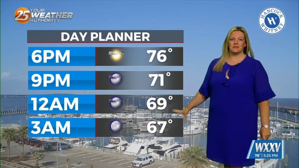
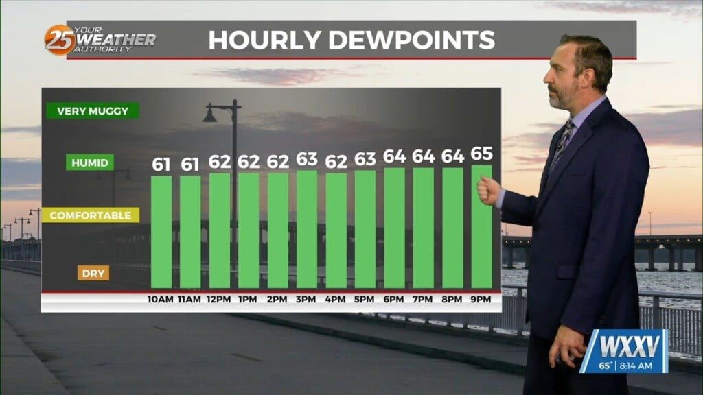
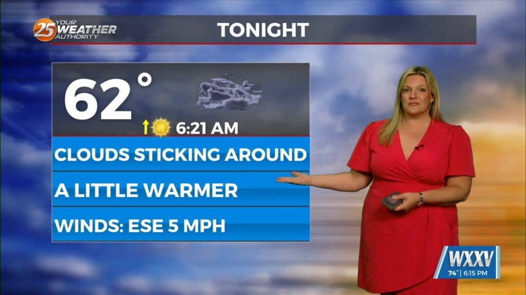
Overall, entire weather pattern is benign with the high pressure bringing moderate temperatures and no precipitation. Northwest flow aloft will give us one more night of cool temperatures, then warm as the high pressure takes hold with overnight low ending up in the 60s across the area. Highs will be in the upper 70s to low 80s. As the center of the upper high moves past us Saturday morning into Sunday, winds become southerly and this brings moisture from the Gulf causing increased cloudiness that gradually increases through the end of the short term.
A series of fast moving disturbances embedded within the overall flow in the upper levels will be the main drivers of the forecast on Monday and Tuesday. Monday will see increased deep layer onshore flow usher in a very moist airmass. This increase in moisture will correspond with the passage of the first disturbance and this will support cloud development. However, a lack of instability due to fairly weak mid- level instability will greatly inhibit rain chances throughout the day. At most, an isolated to widely scattered shower or very low topped thunderstorm could develop, and the most likely area for this to occur.
Tuesday looks to be largely a carbon copy of Monday as another fast moving disturbance slides through the Lower Mississippi Valley. This will support continued cloud development and the risk of an isolated to widely scattered shower or weak low topped thunderstorm as temperatures warm back into the upper 70s and lower 80s.


