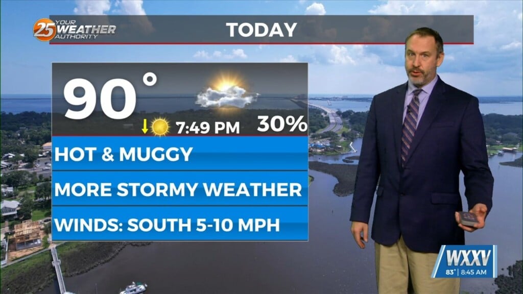
1/9 – Trey’s “Sliding High Pressure” Tuesday Night Forecast
Meteorologist Trey Tonnessen
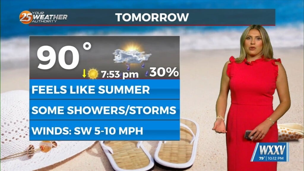
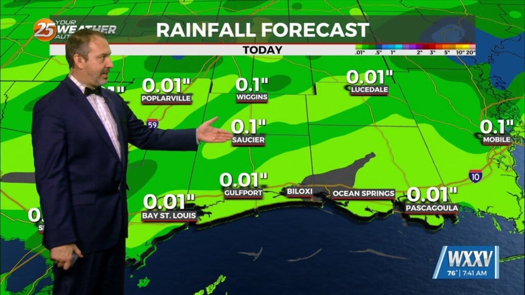
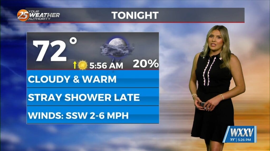
Here on the Mississippi Gulf Coast, we will have one and a half days of drier weather; before another system will move through the area Thursday night into Friday morning. Southerly surface winds will help to return warm, humid, and moist air back into the environment ahead of that system. If enough return flow occurs, we will be looking at the possibility of severe weather for our area. Currently, it looks like there will be sufficient moisture and instability. As of now, Storm Prediction Center has placed us in a slight risk (level 2/5) for severe weather. The main threats would likely be strong damaging winds and maybe a tornado or two