12/20 – The Chief’s “More Humid Flow Begins” Wednesday Morning Forecast
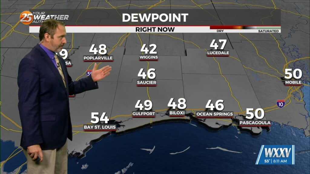
The general upper high pressure over the lower and middle Mississippi River Valley extends off the eastern seaboard. At the surface, high pressure was centered over West Virginia, with low pressure and associated frontal boundary along the lee side of the Rockies. A large cirrus shield was moving through the southwesterly mid-level flow across the area, but the airmass was pretty much bone dry.
As the surface high pressure continues to slide eastward, low level winds will gradually gain a bit of an onshore component later today and continuing through Thursday. Precipitable water values will gradually increase to about one half inch this evening and three quarters of an inch by Thursday evening, but the mi-layer of the atmosphere will remain extremely dry, so no precipitation is anticipated. We’ll have a good bit of cirrus, especially early in the day today, until the passage of the Texas disturbance gives us a little more sunshine late this afternoon. Clouds will increase again on Thursday ahead of the next system.
As we head toward the holiday weekend, while there is decent agreement between the global models on the large scale features, there isn’t as much agreement on the smaller scale, with numerous impulses projected to move through both the region. From Friday through Sunday, there will likely be quite a bit of cloud cover and maybe completely overcast. Any rain Friday into Saturday should be relatively light, with rain chances (and amounts) increasing as we get into Saturday night and Sunday. There will be a 12-18 hour window of moderate to potentially heavy rain, probably during the day Sunday into Sunday evening, with a good portion of the area receiving an inch or more of rain. Current models have the atmosphere drying out significantly with the passage of a front Christmas morning.


