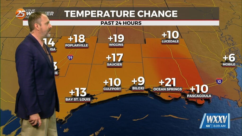
12/19 – The Chief’s “Warming Trend Begins” Tuesday Morning Forecast
An upper-level disturbance moving into New England and the Pacific Northwest will provide for high pressure moving out of the Rockies into the Plains States. At the surface, high pressure was centered over Arkansas. Clear skies across much of the area early this morning, with some high clouds approaching from the west.
The surface high-pressure will shift from Arkansas to the Appalachians by Wednesday evening. That will shift the winds from the northeast to the east and southeast by late in the day on Wednesday. With the dry airmass in place I will trend high temperatures toward the warmer side, but slightly lower for the Pearl and Pascagoula drainage basins. Although there will be some cirrus, especially Wednesday, it may not be enough to have a significant impact on temperatures. Today`s highs probably won’t get out of the 50s, but much of the area should be in the lower to middle 60s on Wednesday.
The upper-level high pressure is expected to hold on across the area for the most part from Wednesday night into Saturday, although a disturbance moving across the Middle Mississippi River Valley could produce at least some light rain showers on Saturday. Upper flow then becomes southwesterly for Christmas Eve and Christmas Day. Timing of impulses moving through the southwesterly flow differ between the global models. Last minute shoppers look to get pretty wet on Christmas Eve, but there is at least some potential for drying Christmas Day.


