12/15 – The Chief’s “Sunny, Cool & Breezy” Monday Afternoon Forecast
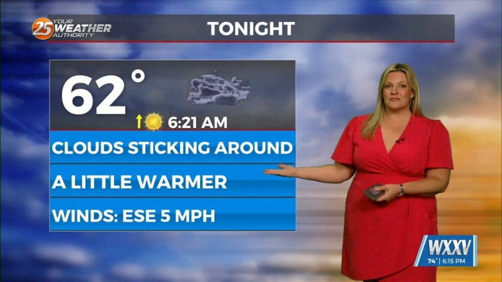
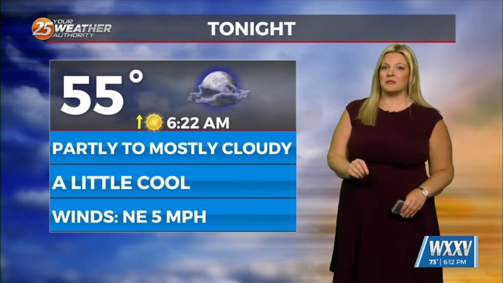
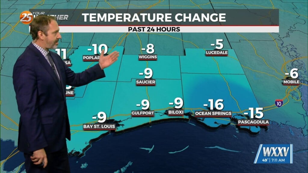
Eyes are now focused upstream as a dry cold front begins to march southward later this evening and overnight. Prior to the frontal passage, low level pressure gradient should decrease leading to more relaxed winds at least this afternoon and early this evening. Behind the front, stronger Cold Air Advection will develop across the region with a surge of colder air moving into the region by Tuesday.
Surface high pressure will begin to spread across the lower Mississippi and Tennessee River Valleys through the remainder of the short term period. This will have some implications in regards to surface winds across the region. Going into midweek, the upper flow regime signals at least a gradual warming trend with increasing heights and thicknesses over the area by Wednesday and Thursday. The low level easterly flow will gradually strengthen a bit as coastal trough develops along the coast of Deep South Texas and the aforementioned surface high parking itself across the central Appalachians. The easterly fetch will help moderate “some” but without much of a southerly component, the warmest and deeper moist air will struggle to surge northward much, at least early in the long term period.
Through the remainder of the medium range, models indicate that the upper pattern remains fairly progressive with a weak impulse or two ejecting eastward from the high plains and into the Ozarks and mid MS River Valley by next weekend. Timing of these features varies from model to model…so we will have to keep an eye on it.


