11/1 – The Chief’s “Welcome November” Tuesday Morning Forecast
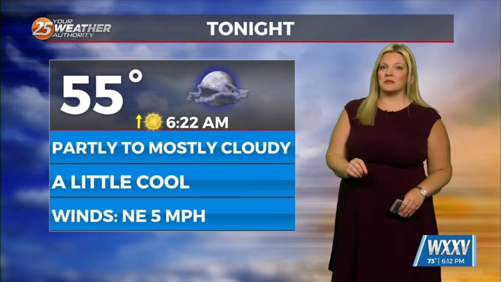
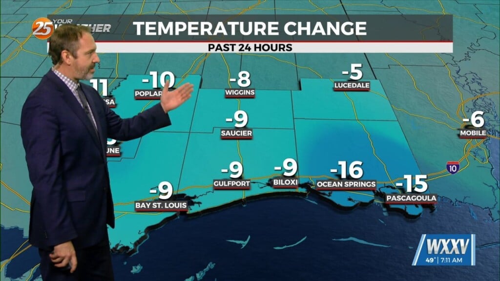
Strong winds will begin to ease today and the wind advisory will be allowed to drop as the gale warning drops this morning. Winds may not be as strong as they have been but they will still be breezy and coupled with the dry conditions, fire hazards will continue to be a concern. Breezy conditions will continue today and with calmer winds expected tonight, this will help tremendously toward radiational cooling. Temperatures will be fully capable of reaching below freezing for most of the northern tier of counties/parishes as the night progresses. A slow but steady warming trend will begin Thursday through the end of the week.
Models have decided the easterlies have not given up yet and bring an easterly wave through the gulf for the start to middle part of next week. The EURO model is not totally in line with this but does carry some east to west meridional inverted disturbance through the gulf as well but not as aggressive as other models. Not really anything to speak of but with a new cold front moving SE through the CONUS, it could pull some of this moisture northward by mid-week. It’s not a big signal at this point but there could be some slightly higher chances of rain by next week. Then again, any chance is infinitely higher than zero.


