8/8 – Jeff’s “Clearing” Tuesday Evening Forecast
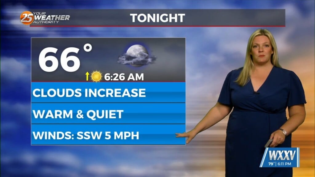
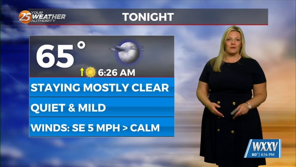
Rain chances will be eliminated this evening and skies will clear out. It will remain hot and humid for a good portion of this evening but cloud cover and isolated rain took an edge off of the brutal heat. Winds gradually return to a southerly flow overnight with the humidity remaining in the picture.
Tomorrow will start off hot yet again. On and off cloud cover can be expected but sunshine will dominate. An Excessive Heat Warning will again be in place from 11 AM until 7 PM, with the exception of George and Stone County under a Heat Advisory beginning an hour earlier. There will be isolated rain chances again but don’t expect much from it.
An Excessive Heat Watch is already in place for Thursday. Dangerous, long-duration heat will continue through the end of the week into this weekend. Thursday has the potential to be the hottest day. Rain chances gradually return this weekend.


