7/2 – Jeff Vorick’s “Unsettled Pattern Arrives” Sunday Night Forecast
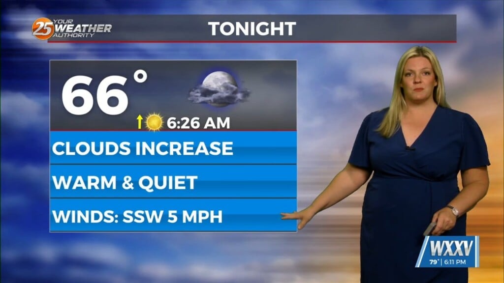
Our more typical summertime conditions will be back for this week. Overnight, it will be warm and humid but temperatures will be in the 70s. Ridge of high pressure will continue to break down and in its place, expect a more unsettled pattern. For your Monday, increasing cloud coverage, still-hot temperatures, and a 30% chance of afternoon thunderstorms are on tap.
Unsettled conditions return in more earnest as we push through the week. Some storm systems and other disturbances will be in the region. Thunderstorm chances will become more scattered in nature Tuesday-on. Coverage will be maximized with daytime heating. By the evening on the 4th of July, thunderstorms will wane in coverage for events. But, have a way to be indoors.
Wednesday-Friday will be unsettled as disturbances move closer to our region. Thunderstorms will be strong in nature at times but the best ingredients for severe weather will remain mainly north of us. Frequent lightning and very heavy rainmakers at times can be expected. The return to more normal, local-scale thunderstorm chances will be back next week.


