2/10 – Brittany’s “Wet End To The Workweek” Friday Night Forecast
No real changes in the thinking regarding the short term forecast. Stationary front near the mouth of the MS River will continue to serve as a focus for showers and a few isolated thunderstorms through this evening. Despite a large precipitation shield apparent on radar, most of this rain is not reaching the ground owing to dry air in the low levels. Several obs have been occasionally reporting light rain, though, and expect the low levels to moisten further through this evening. This will allow more of the rain to reach the ground overnight tonight as a stronger cold front pushes through the are and an upper low slowly moves eastward.
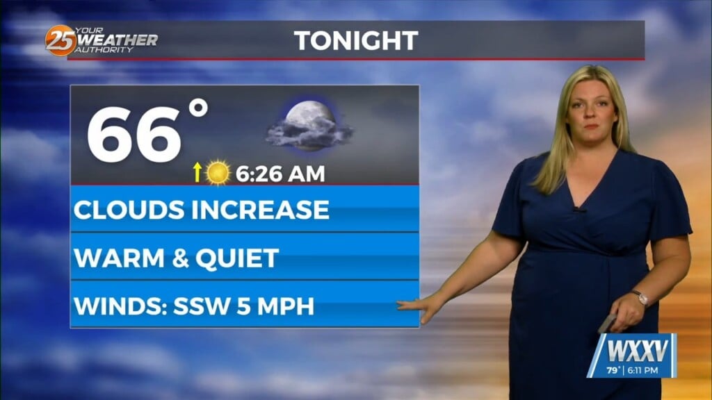
Saturday looks to be dreary with continued cloud cover and off/on light showers/rain as the upper low drifts eastward. With the cloud cover and cold air advection behind tonight`s front, temperatures will struggle to rise above the lower 50s. Expect winds to be breezy also in response to the pressure gradient tightens as high pressure builds into the area. On and on top of that it also now looks like some of the showers will linger through the afternoon and into the evening across portions of the area. All in all, it looks like fairly unpleasant carnival weather for Saturday`s parades. If there`s a silver lining it`s that any rain should remain generally light so it won`t be a total washout. With the exception of Jackson County where rain will linger the longest, rain totals Saturday afternoon/evening should generally be less than one quarter inch. Bottom line, if you plan to attend any of the outdoor festivities across the south shore, north shore or Mississippi Coast, plan to wear a wind and water proof jacket.
Rain and clouds finally depart Saturday night. Sunday morning will start out chilly with temperatures in the mid to upper 30s north and upper 30s to mid 40s south. There is still some potential for a light freeze across northern areas, but while NBM is still indicating about a 30 to 40 percent chance of temperatures below freezing, it really doesn`t look like winds will fully decouple to the point where we can maximize radiative cooling. Once the sun comes up, temperatures should rebound into the lower 60. While this is still cool by southern standards, full sunshine and generally light winds should make for a pleasant day.


