9/1 – Rob Knight’s “September Outlook” Morning Forecast
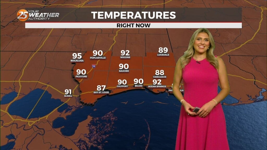
Very little change in the short term, with the main issue becoming the heat during the afternoon hours as high pressure builds into the area. Suppressed cloud cover and associated shower and thunderstorm activity will allow temperatures to climb into the low to mid 90s across the area.
Dew-points will remain elevated enough to cause heat index concerns as values near and above 105 will be possible at times.
While these numbers are just below criteria for a heat advisory, extreme caution should be used during the next couple of days when working outdoors. A slight change in the forecast temperature or dew-point values could result in the need for the advisory. Otherwise, dry conditions will prevail through Thursday.
By Friday morning, upper highs will be centered over Nevada and off the Georgia/Florida coast. This will leave a trough from the Ohio Valley to north Texas. That trough will be approaching from the northwest, and with somewhat increased low level convergence ahead of a frontal boundary, could see some afternoon showers/storms Friday afternoon. This disturbance will shears apart over the weekend, but not before producing scattered showers/storms during the afternoon hours each day.


Leave a Reply