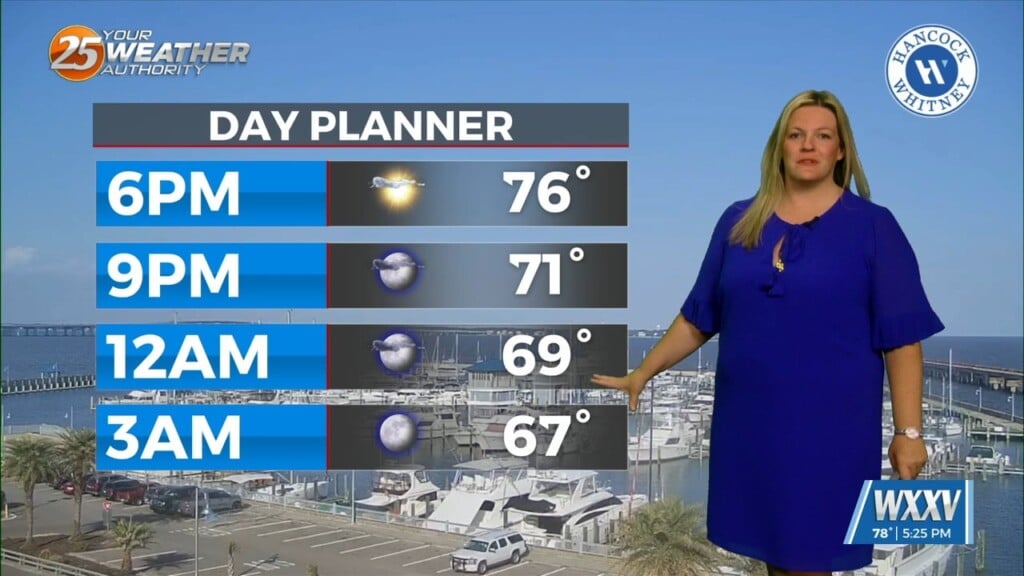
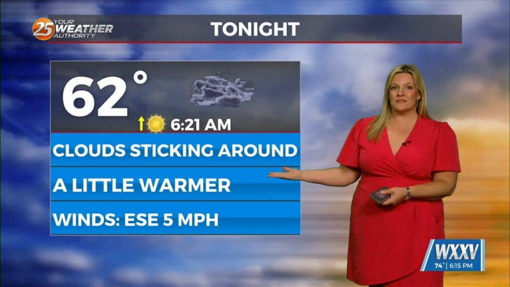
9/16 – Brittany’s “Changes Ahead” Friday Night Forecast
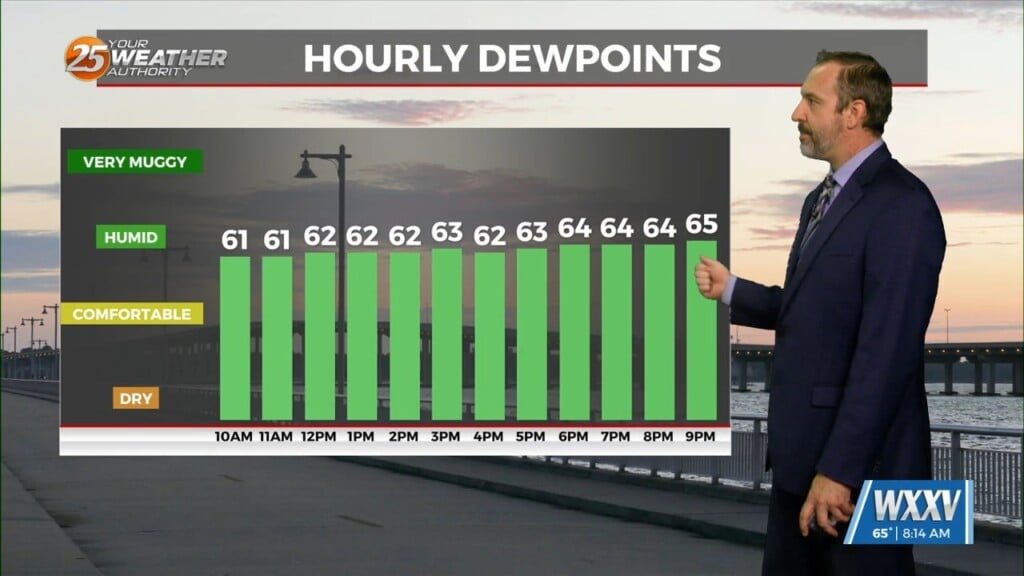
Tomorrow is looking nice to start yet again with some low-level clouds around. Main focus will be the continued return of low-level moisture drifting north adding to that old familiar more humid feel to the air. Gulf moisture return continues to deepen throughout the late morning and afternoon revealing a more moist low-level mixed profile. Overall, rain chances go up tomorrow with the possibility of daytime heating induced isolated showers/thunderstorms.
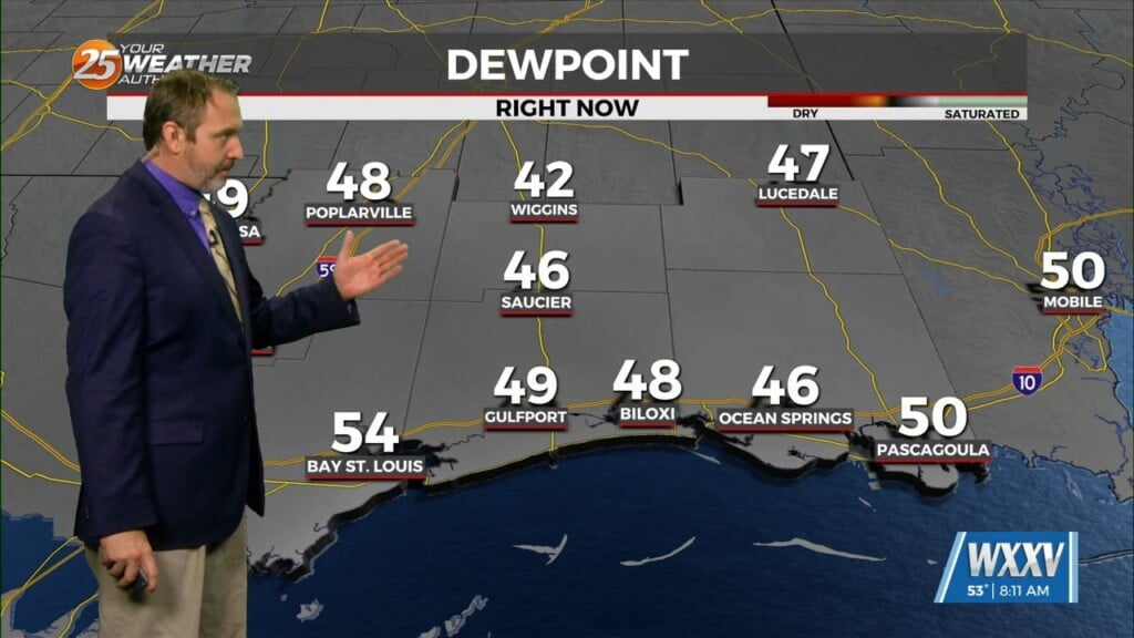
By Monday, we begin to see a transition in the mid to upper-level pattern as ridging builds and strengthens over the southern Plains. The position of the mid-level height center and attendant surface high nearby or just to our northwest will support largely NE flow helping to drive drier continental air into the region.


