9/15 – Brittany’s “Subtle Changes Ahead” Thursday Evening Forecast
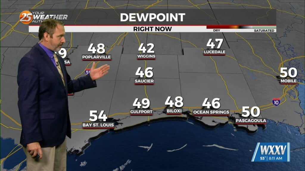
Another pleasant day in the books this afternoon with ample blue skies and warm, yet rather comfortable temperatures. Taking a brief overview of the regional synopsis shows surface high pressure centered generally over the Great Lakes, with large- scale influence dominating the eastern half of the US. We reside on the southwestern periphery which continues to promote ENE sfc winds keeping the drier continental air anchored over the region with a stationary front draped near or just south of our outer marine waters. Meanwhile aloft, we are situated underneath a ridge axis extending north along the MS river into the Great Lakes, with generally weak upper tropospheric flow in place.
Going into Friday, the aforementioned surface high steadily builds east into New England, as we begin to see less in the way of influence over the region. We in turn begin to see a bit of a slow northward jog with the front over marine areas, coincided with subtle impulses of westward surging enhancements of PW fighting right on the fringe of the dry continental airmass in place.


