9/1 – The Chief’s “Welcome to September” Thursday Morning Forecast
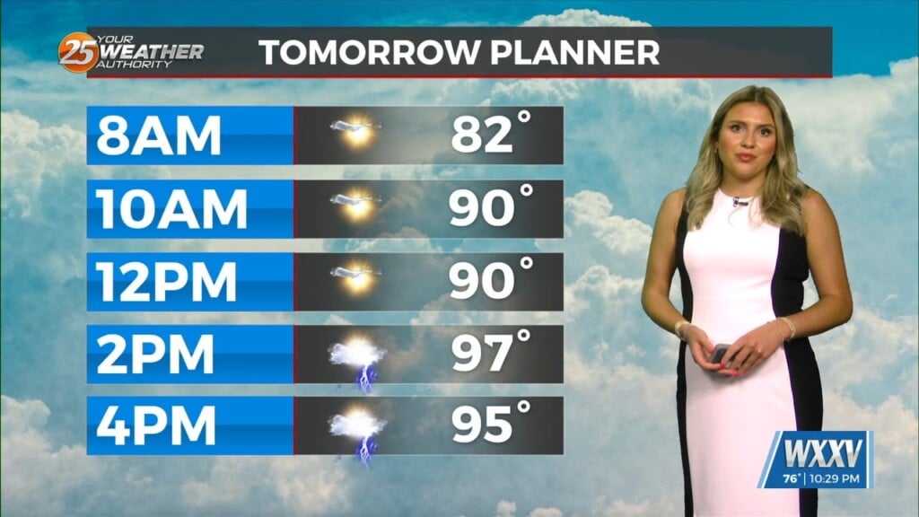
Overall, a fairly quiet day is expected across the area. It should be another lackluster convective day with plenty of dry air aloft. The best potential for rainfall, similar to Wednesday looks to be again along and west of the I-55 corridor later this afternoon. With the lack of rain/clouds, another hot day is expected with temperatures climbing well into the 90s area wide. Although hot, the dry air aloft could help mix out surface dew-points with strong insolation this afternoon, which should keep heat index values somewhat reasonable (generally less than 100F).
A pattern shift begins to take shape going into tonight. The ENE or NE surface flow will be replaced with an onshore flow as the weak surface high pressure moves eastward out of the Ohio River Valley and toward the western portions of the Atlantic. This will allow for moisture flow to return into the upcoming holiday weekend. With the return of the wet pattern will likely spell out at the very least some localized hydro concerns, especially if multiple storms impact the same areas in a short amount of time. The wet pattern looks to hang around through the end of the short term as a persistent active southwesterly high pressure system remains over the region. With the increase in shower and thunderstorm activity, temperatures will be several degrees “cooler” by the end of the forecast period.
Late in the weekend and early next week we will still be in a broad weakness in the pattern, that deepens into the Lower Mississippi Valley and does not seem to move much at all for a few days. This combined with tropical moisture consistently flowing in will keep us in a wet pattern through the entirety of the long term forecast. Rain chances will range from around 70-80% each day at their peak, with the best shower and thunderstorm chances expected to be from the late morning through the early evening. Convection will be mostly diurnally driven, with sea and lake breeze boundaries being the main focus of said convection.