9/1 – Rob’s Tropical Update/1st Sept Weekend Fcst
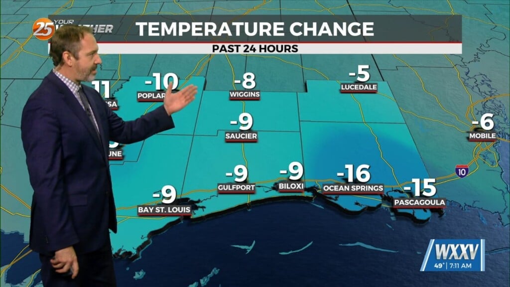
TS HERMINE is moving towards the Florida/Apalachicola coast. Landfall should be around midnight tonight unfortunately for our neighbors, as a CAT1 Hurricane. On the western side of HERMINE, drier air and windy conditions will prevail, along with a few isolated showers/t-storms this afternoon.
An approaching cold front will continue to steer HERMINE to the NE after landfall, very rapidly towards the N.C coast…then into the northern Atlantic as an extratropical low-pressure.
For the holiday weekend, the cold front will go stationary in central Mississippi and provide for rain chances through early next week…at 30-40%.


Leave a Reply