9/7 – The Chief’s “Scattered Afternoon T-Storms” Mid-Week Forecast
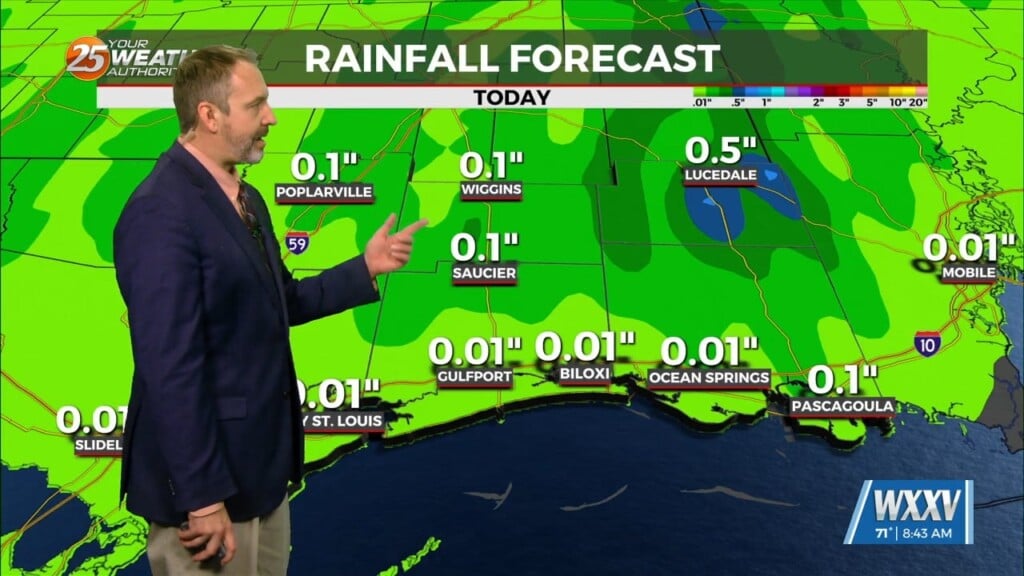
A trough of low pressure along the NW’tern Gulf of Mexico will slowly push SE as an upper low pressure system and training cold front moves through tonight. The past few days, t-storms have primarily remained over the Gulf waters where some storms have been able to crop up. While these storms could be extremely efficient rainmakers, have not really seen this materialize due to lower coverage of showers/storms over land. I expect this same scenario today as well.
Starting Thursday, the upper level weakness will develop into a upper level low centered around the northern Gulf coast. Where precisely this said low develops will make a difference whether or not we’ll be wetter or drier forecast wise. One option is the low develops further west of us, which gives us that onshore flow bringing plenty of moisture from the Gulf into the area. The alternate is if it ends up east of us, drier air from inland would help cut down on rain chances.
Rain chances will be very low early next week as stronger high pressure move into the central GOM.


