9/7 – Chris’s “Heat Advisory” Thursday Afternoon Forecast
This afternoon high pressure was centered near El Paso, Texas, extending northward through the Plains States. At the surface, high pressure was centered over Florida and the Northern Plains States. A cold front is extended from Lake Erie, to southern Arkansas to west Texas. The high pressure to our west is not going anywhere through Friday. As each impulse of energy dives southeastward into the trough of low pressure position to our east, they will push the cold front to our north southward, as well as move drier air into the area.
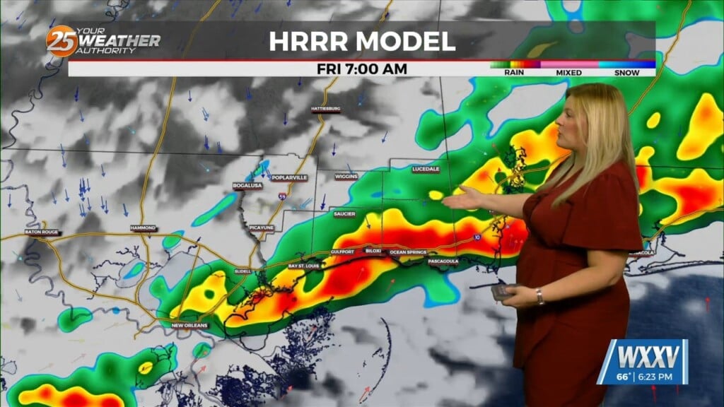
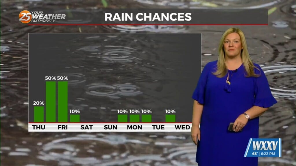
Isolated showers and thunderstorm are possible near the front the next two afternoons, as well as near land/sea-breeze interactions. Apart from the isolated showers and thunderstorms, heat and humidity will again be an issue today. High temperatures today will be in the mid-90s with some spots reaching the upper 90s. Humidity values will be sufficient for most of the area to reach heat index values of 105-110 today with a heat advisory in place. However the sea-breeze may temper the heat slightly by mid to late afternoon. On Friday daytime highs will be similar to today, however heat index values are expected to remain below advisory criteria as of now.
As we head into the weekend, high pressure to our west gets suppressed westward, with drier air filtering into the area for several days. With the dry air in place humidity will be lower this weekend leaving manageable heat indices. The cold front will be to the south hindering rain chances and cooling temperatures slightly through Monday. By Tuesday and Wednesday, a few impulses of energy will move through causing a few showers and thunderstorms with a better chance on Wednesday. The good news is somewhat more seasonable temperatures will be expected by midweek.


