8/30 – The Chief’s “Hotter Temperatures” Tuesday Morning Forecast
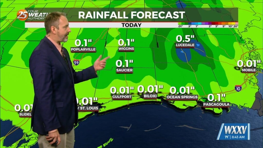
Heavy rainfall wording will remain with us as rates up to 4″/hr will be possible but most of this activity will be moving, so without lingering over an area or training, flooding will be less of an issue. But what could be an issue is strong damaging winds from downbursts. The atmosphere shows a more subdued environment until early/mid-afternoon.
Thursday will be interesting. Some of the areas could feel some surface “drier” air filter in. The word drier is always relative but in this case, it is weak at best. A back door front should move southward and slow to a stall from Baton Rouge to Mobile or basically right down the I-10/12 corridor Thursday late morning. So basically areas to the north of this line could feel dew points fall from the low to mid 70s back to the upper 60s and maybe a mid 60 reading somewhere around MCB. Yeah, not a lot of difference, but for the start of September, we will take it. This front will pivot once it stalls and the pivot point should be near Mobile on Thursday, then begin to move to the NW. The main thing this boundary will do is to focus showers/t-storms along and south of the boundary Thursday.
The tropics are active, or at least more active than they have been. But there is nothing imminent for our area over the next few days. There will be a strong easterly wave that moves over the Yucatan and into the southern gulf over the next several days but at the moment the only thing we can see from this is a continued deep stream of tropical moisture moving northward as it moves west.


