8/26 – The Chief’s “Cresting River Stages” Friday Afternoon Forecast
FLOODING ALONG RIVERS; WOLF, BILOXI AND TCHOUTACABOUFFA…
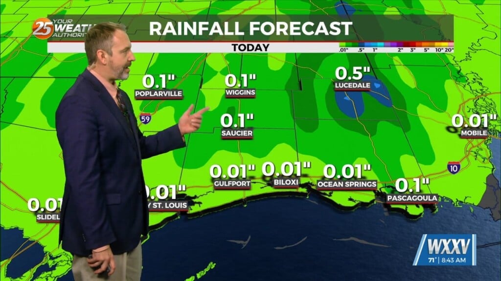
A weaker surface low pressure and attendant boundary near or just offshore this afternoon will be the focus for heavy rainfall. This will be the reason for not posting a flood watch. So, long story longer, this does not mean there will be no heavy rain producing storms around, there just should not be as many as there have been inland. But with any heavy rainfall, the potential that an isolated location could see flooding is still possible as grounds are absolutely soaked. This subsiding area is being cause by the interaction of two systems at the moment. The upper low will continue westward while a very weak easterly wave moves west into the southern gulf with upper diffluence and some SW shearing.
This wave is not very discernible in WV, but pressure fields show a gentle inverted toughing feature there extending all the way into Florida. Currently this wave is moving into the Yucatan this morning. Once this enters the gulf, it should become more evident. As this moisture gets funneled northward over the western gulf in the coming days, it will push this subsiding area over us by Saturday and early Sunday.
We will be in a mostly zonal flow pattern aloft to start off the week, with no obvious dominant upper level pattern. At the surface we will be in a fairly consistent easterly to southeasterly flow which will bring plenty of moisture into the area. Although there won’t be a focus for convection, outside of lake/sea breeze or outflow boundaries, precip chances will still be on the order of 60-75% each day due to the lack of any ridging in the upper levels. Temperatures will be in the mid-80s to low 90s each day, depending on where showers and thunderstorms set up.


