7/6 – The Chief’s “Wet Pattern Ahead” Thursday Morning Forecast
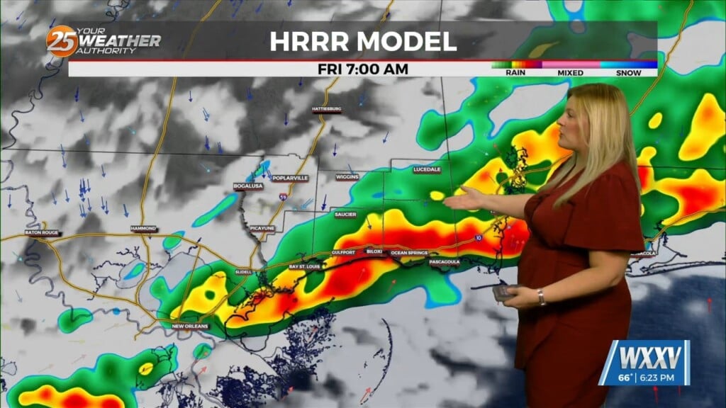
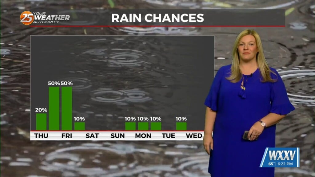
Spotty Showers continue through the area this morning, as radar is indicating activity in the vicinity. This activity will continue through this morning with the activity ramping up once again this afternoon with daytime heating. High pressure is still in place but there has been just enough of a weakness along with a continued surge of moisture that has allowed rain chances to remain elevated in the afternoon hours. I don’t see anything at this point that is going to change that general thinking. More of the same is expected today and with the deep moisture available combined with local outflow features, t-storms should develop rather easily during the afternoon and evening hours. These storms could easily produce efficient rainfall rates and while most of the area is severely lacking in rainfall, the hourly rainfall rates could be high enough (2-3″ per hour) to cause some issues, especially in the northern parts of the forecast area. We remain outlooked today for a marginal risk of excessive rainfall.
Not much in the way of any changes expected on Friday as we should be well into the transition to northwest flow with high pressure in the Gulf pushing south and west. Abundant moisture will remain in place, so it will not take much heating to get convection going quickly.
Even with the increased rain chances today and tomorrow, heat will still be a concern. Where rainfall does not initiate as quickly, temperatures will easily climb into the mid-90s again with heat index values near or just above 105 possible.
On Saturday, the high pressure is expected to build even further east but may not get all the way into our area at this point as it remains fairly entrenched. Due to this, have kept rain chances up through the weekend and into early next week as disturbances will continue to be able to move through the area and instability each afternoon will contribute to higher than normal rain chances.


