7/15 – The Chief’s “Hot & Muggy” Friday Morning Forecast
Today through Sunday a broad upper level high pressure will be centered near the 4-corners region extends from Mexico to Canada and CA to around MS. It will generally be in centered this position through this forecast period with a small drift to the east before shifting right back west. The eastern portion of the high pressure was partially and temporarily eroded with an upper trough weakness south across the Great Lakes to the Appalachian Mountains. The Bermuda ridge extends westward from the Atlantic Ocean to near Florida. That trough is currently lifting out which will allow a little eastward expansion of the ridge west of the area.
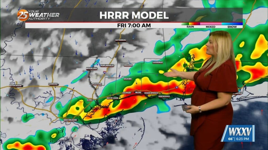
Abundant moisture exists along the southern periphery of that ridge. Spatially, there appears to be a strong across the area and thus, we should see similar convective coverage today with the most rain in the southern half of the area and least in the northern half. The main concern with any storms today will be hourly rainfall rates which could be quite intense…on the order of 2 to 4″ in an hour. If any of the stronger storms develop over urban areas, could see some flash flooding.
On Saturday and Sunday, medium range models show the eastern edge of the upper ridge centered to the west trying to expand farther east. This will attempt to suppress convective development. The long term portion of the forecast is fairly consistent from day to day and fairly summer-like.


