7/12 – The Chief’s “Threat For Heavy Rain” Tuesday Afternoon Forecast
Locally, there’s still some form of residual frontal boundary that moved through to the area Sunday, with an area of low-pressure which developed east of the area. A secondary disturbance within the trough weakness of the region will drive further south on Wednesday. This will bring a frontal boundary towards the area. This setup will likely produce coastal showers and storms in the morning with increasing coverage long the front late in the day through the evening hours.
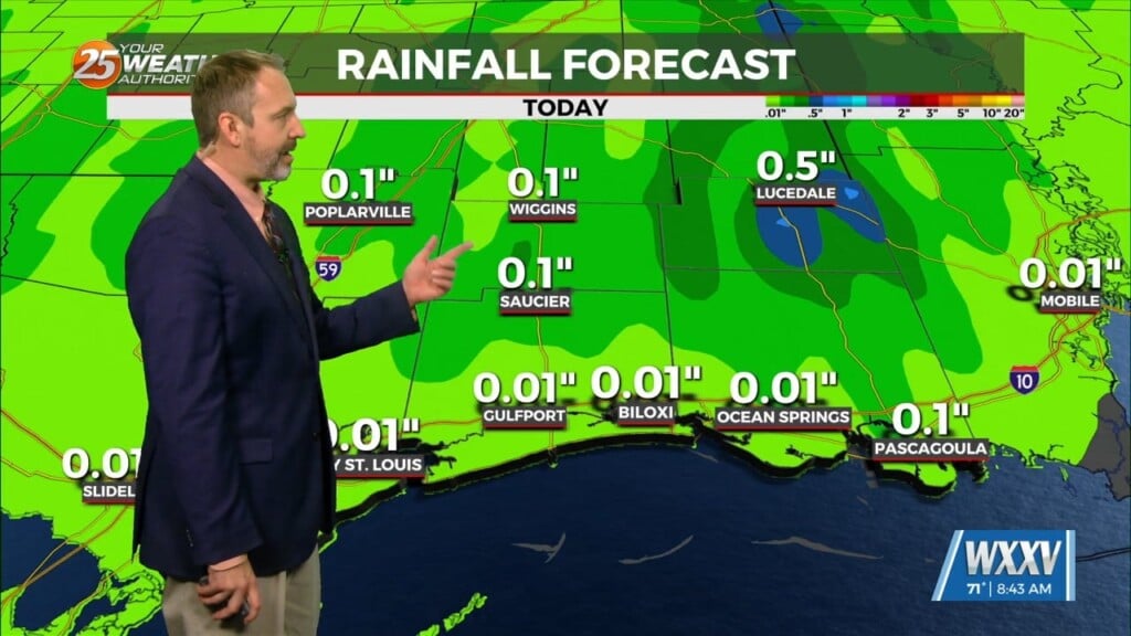
Flash flooding continues to be the main concern, with WPC highlighting Slight Risk for portions of the area.
Thursday will just be a continuation of diurnally induced convection with storm movement likely outflow boundary driven as well as some enhancement from residual frontal boundary in place. A very stagnant pattern looks to set up across the country for the remainder of the forecast period. The upper ridge remains centered near AZ/NM and weakness in place over the eastern half of the country. This time of year, if there’s not strong high pressure right over the area, it’s going to be raining. That’s precisely what medium range models indicate. Thus, expecting 60-80%+ coverage each day this weekend and probably beyond that. In these setups, localized areas of flash flooding will be possible.


