7/11 – The Chief’s “Wet Pattern Ahead” Monday Morning Forecast
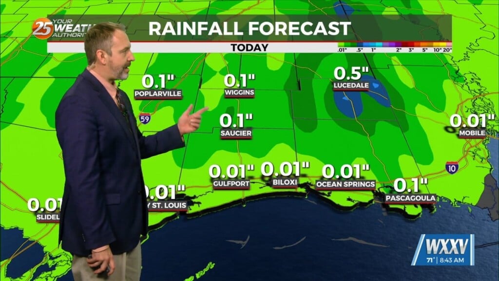
An upper level high pressure is to the north of a stationary front situated along the Mississippi gulf coast. If there’s some good news, it is that today doesn’t look as wet as some of the earlier forecasts had indicated. The comparative lack of precipitation, unfortunately, means that high temperatures should get into the lower and middle 90s. Looks like heat index values should mainly top out in the 103 to 108 range.
With upper high pressure to the west and east, there’s really no place for the front over the north central Gulf to go, so it will sit there over 85-87F water. It’ll probably drift a bit northwestward toward our coastal areas tomorrow and Wednesday. Forecast soundings note this with moisture flow values very elevated beginning Tuesday. Rain chances respond appropriately, getting into the categorical range across about the southern two thirds of our area, mainly during the daytime hours.
There’s at least some threat of this disturbance to slowly acquire tropical characteristics later in the week as it sits over an abundance of warm water. That isn’t expected to occur in the next couple of days, though. Regardless of whether it does acquire tropical characteristics, rain and thunderstorms are going to be a problem for much of the week, especially across the southeast half of our area. Rain amounts over the next 48 hours could average 1-2 inches south of Interstate 10, with most of that Tuesday afternoon/night. Additional rain, possibly heavy, will occur on Wednesday. Isolated higher amounts will be possible, but at least through Tuesday night, I don’t anticipate widespread flooding issues. That could change on Wednesday, depending on where the heaviest rain occurs tomorrow. Clouds and precipitation will hold high temperatures down on Tuesday and Wednesday for most of the area.


