6/9 – The Chief’s “Warm and Clear Start” Friday Morning Forecast
Only a few small changes in the upper pattern this morning, with an area of low pressure over New England with another over Nevada. High pressure across the middle of the country has been forced westward a bit to the lee side of the Rockies. A disturbance moving around the periphery of the New England low was moving southward into the Gulf of Mexico near the Texas-Louisiana border.
Moisture flow will slowly increase with a weak cold front just to our north…increasing afternoon rain chances to 30/40% this afternoon…then 40/50% Saturday afternoon. We had a pretty healthy cumulus field prior to noon and storms prior to 2 PM yesterday; the same is expected this afternoon. As is typical this time of year, any excessive rainfall threat will more likely be to the north of the Interstate 10/12 corridor, where
the moisture levels are slightly higher, but threat is non-zero elsewhere.
With convective development expected to b
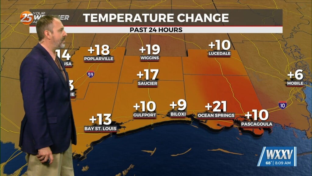
e slightly delayed compared to yesterday, confidence in high temperatures exceeding 90 degrees is fairly high, and wouldn’t be surprised to see a few locations flirt with the mid-90s.


