6/8 – Britt’s “High Heat Index” Wednesday Afternoon Forecast
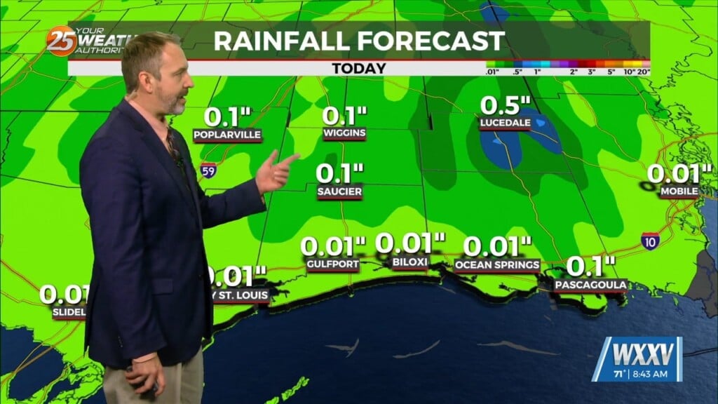
An upper level ridge that is centered over Texas and spreads across the Gulf Coast will continue to dominate the forecast over the next couple days. This suppresses convection for the most part, while a couple stray showers or weak thunderstorms can`t be completely rule out most areas are expected to remain dry. Heat continues to be the main focus of the short term forecast for the most part as high temperatures trend in the low to mid 90s. An upper level trough moving across the central U.S may start to erode the ridge over us through Thursday and into the weekend, which will bring an increase in rain chances.
Friday and beyond, the upper level trough will continue to move eastward towards the end of the week and the weekend, turning flow aloft to more northwesterly. A surface front will try to swing down through the area, but based on recent model runs will likely get stalled before it reaches the coast, which is the usual case for this time of year. Multiple shortwaves move through the trough this weekend which brings the increased chance of precipitation this weekend. PoPs increase to 40-50% Saturday afternoon, which as of now looks to be the best shot at any convection developing. Sunday is more of an isolated risk, with PoPs around 20-30% in the afternoon hours. Temperatures will continue to be hot, in the low to mid 90s, through the extended period. Depending on how much convection we see both Saturday and Sunday may affect how high temperatures will get. Heat index values will approach the upper 90s to up above 100 several days in a row. The hot and humid trend is expected to continue into early next week.


