6/4 – The Chief’s “Hotter Temperatures Ahead” Tuesday Afternoon Forecast
A complex of t-storms well to the NW will continue SE and dissipate late this evening. The activity will move in to the region and traverse the local area roughly around 6-11 pm tonight. The cold front that has been talked about for a while is moving south through Montana and Wyoming this morning and will be partly responsible for helping develop this next COMPLEX tonight.
The other issue here is the frontal boundary itself. Models are trying to bring two fronts near and through the area respectively. The first arrives behind the Wednesday night COMPLEX feature on Thursday and the next would be late Friday or early Saturday. This looks more like the MCS is the feature that rushes the first weaker front southward while the second and probably the actual synoptic front moves through late Friday. The front stalls near the coast Saturday and orients itself from here NW to the source region of activity which allows another one or two to move into the area through Saturday or even Sunday.
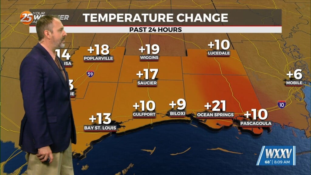
Low rain chances will continue through Thursday with an increase potential Friday through the weekend. High temperatures will also warm into the low/mid 90s Friday into the weekend with HEAT INDICES anywhere from the mid-90s to around 105 degrees.


