6/27 – The Chief’s “Excessive Heat Warning” Tuesday Morning Forecast
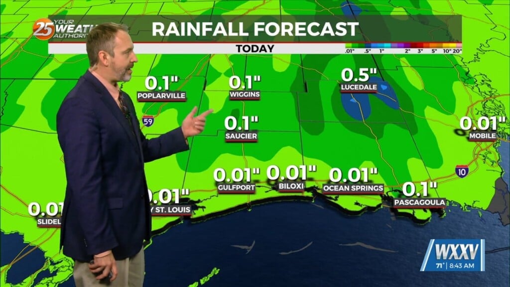
Main concern through Wednesday will be the heat, with a secondary concern… the threat for thunderstorms which could bring a low end threat for severe potential. High pressure is currently centered over Texas extending northward through the southern Plains States. Thunderstorm development today should be limited to the afternoon hours, if it occurs at all. Very strong dry air continues to move into the region/area. That’s going to allow temperatures to climb relatively quickly this morning, with temperatures expected to be at least in the mid-90s this afternoon. Heat Indices continue to support Excessive Heat Warning levels across the area, thus an EXCESSIVE HEAT WARNING is in effect for south Mississippi. As for Wednesday, temperatures are expected in the mid-90s again and through the remainder of the workweek. Any thunderstorm development is likely to be limited to the afternoon unless it occurs North West of the area. This scenario will allow conditions to heat up very quickly.
High pressure becomes more consistently anchored over Louisiana by Thursday and into the weekend before showing some signs of breaking down to our north. Little thunderstorm development is expected Thursday through Saturday, with gradually increasing areal coverage Sunday and Monday. Little day to day temperature change Thursday through Saturday as well, with temperatures indicating advisories or warnings will be necessary.


