6/23 – Rob Knight’s “Heat Advisory” Thursday Afternoon Forecast
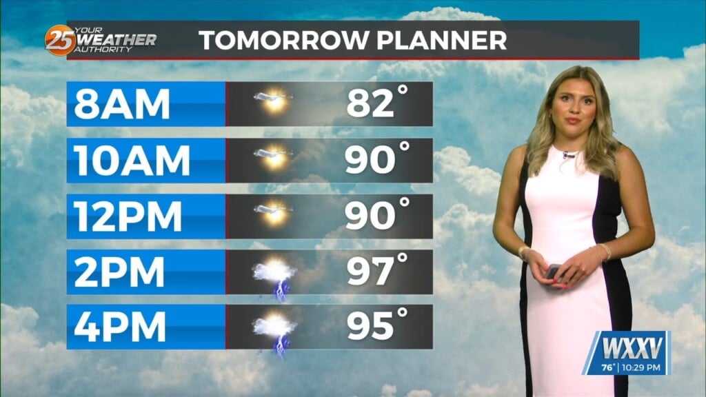
This afternoon most showers/t-storm activity should be found west of the Miss River close to the coast. A sea-breeze boundary will get going around 1pm today and this will help once again develop a few thunderstorms. Friday will not be much different with thunderstorms but could see a few more north of the coast. Saturday could be the lowest rain chance day. The heat will remain into the weekend but some changes are on the way with respect to the heat.
A look into the upcoming weekend and into early next week illustrates the same anomalously strong high-pressure center parked over the lower MS valley region. There will be more than enough factors to lead to an uptick in convective coverage, with scattered t-storms developing upstream towards our northeast, swinging southwest throughout the afternoon/evening hours likely racing along southwestward surging outflow boundaries. Going into early next week, the high-pressure center begins to steadily break down some as we will see much more rain/storm coverage and longer in duration along a front with much slower average storm motion which will support the threat for localized flash flooding each day. With the increase in rain/storm coverage will come lower forecast afternoon heat indices which will give us a slight break from the heat, but as we all know in the summer if you remove the heat, you get more rain and vice-versa so we’ll take what we can get.