6/18 – The Chief’s “Tropical Moisture Slowly Departing” Tuesday Afternoon Forecast
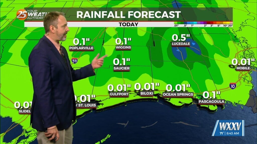
The area of low-pressure over the Bay of Campeche has been designated Potential Tropical Cyclone 1. Still have a fairly significant surface flow between the Bermuda High and the circulation over the Bay of Campeche, although winds haven`t been quite as strong as anticipated to this point. The area continues to be in a very moist airmass. High pressure to the east may nudge the cyclonic flow with the system to our southwest a bit further westward over the next 36 hours. Still expect pretty extensive coverage of showers and a few storms today, especially once we get some heating. Most areas should see less than an inch of rain today, but highly efficient rainfall rates could produce a brief problem or two. Areal coverage and rainfall amounts on Wednesday should be somewhat less than today, and shift westward.
High pressure to the NE appears to strengthen a bit and retrograde westward over the next few days. This suppresses the circulation to the southwest enough to force it into Mexico. It also serves to dry our airmass somewhat, especially north of the Interstate 10/12 corridor. In those areas, we may not see much in the way of rain for at least Thursday through much of the weekend. South of there, moisture levels may remain high enough to support isolated to scattered afternoon showers/t-storms, especially along lake/sea breeze boundaries.


