6/15 – The Chief’s “Low End SEVERE Potential” Thursday Afternoon Forecast
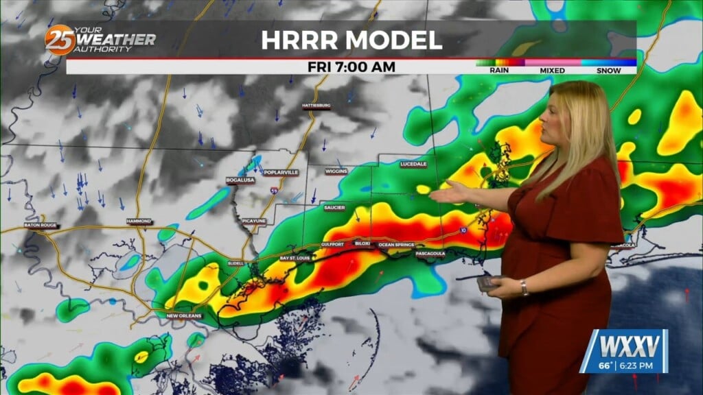
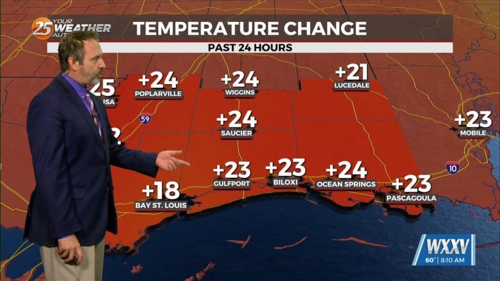
A Heat Advisory is in effect for our area from 11am to 7pm. This afternoon looks to be somewhat similar to the last day or two in terms of what to expect. The area will continue to be under a low-end threat for SEVERITY though this evening. Hot and humid with very windy conditions along with a chance of showers and thunderstorms which lines up with our typical summertime pattern. The MS Gulf Coast will experience dangerous heat index values at least just prior to the sea breeze passage. If we have more cloud cover temperatures could stay a bit lower. Today will also bring the chance of scattered t-storms this afternoon which could also bring some relief to our area.
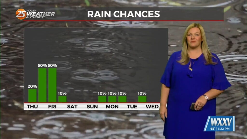
The pattern from the short term will likely carry into the longer term with the area remaining in the northwesterly upper flow. This means the weekend will be hot with the chance of afternoon thunderstorms, albeit dropping down to around 20/30% chance. Going into the new workweek there will have more impulse pushing through the area bringing thunderstorm chances with it. As an area of high pressure should still be in somewhat close proximity, temperatures should continue to remain on the hot side through the end of the workweek.


