5/7 – The Chief’s “Warm & Often Breezy” Tuesday Afternoon Forecast
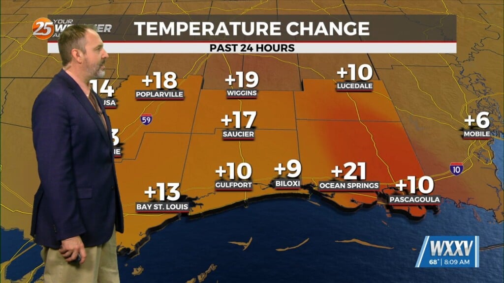
A somewhat weak high pressure across the Bay of Campeche and southern Gulf will help warm most of our region well into the 80s again today. The cooler spots will be along the Mississippi Gulf Coast where onshore flow will help moderate these areas just a bit right along the immediate coastline as sea-surface temps are still a tad on the low side. Otherwise the pattern will evolve to a more active southwesterly flow aloft. Any minor impulses within this flow looks to stay to our north.
Thursday will bring the hottest conditions as temps will flirt with the 90 degree mark and potentially RECORD HIGHS. This along with plenty of low level moisture around could cause heat index values to rise close to or in excess of 100F on Thursday. During the overnight Thursday and into Friday night an amplifying Canadian weakness over the eastern half of the US will begin to move a surface cold front toward our region.
The front looks to clear the region from NW to SE Friday morning or early Afternoon. Cold Air Advection will occur, although it will likely be offset by sun angle and insolation given the calendar. However, temps in the upper 70s or lower 80s is much better, which should make for an AMAZING “Mother’s Day” weekend ahead.


