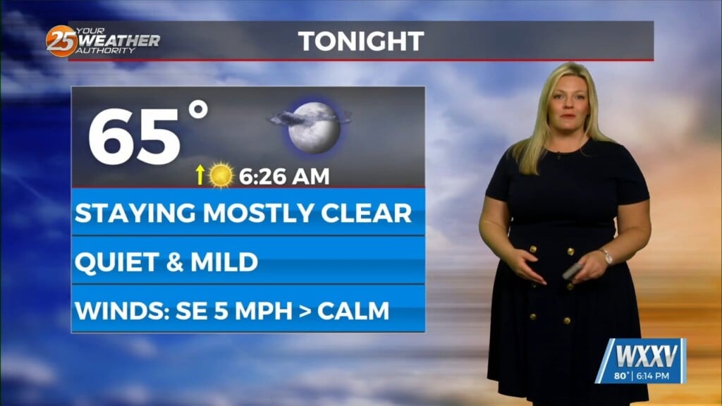
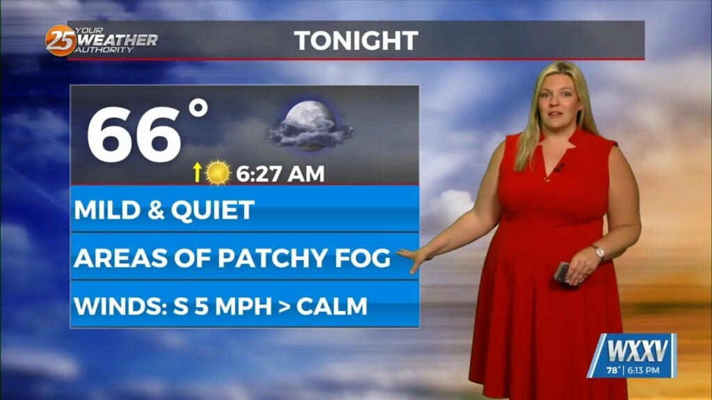
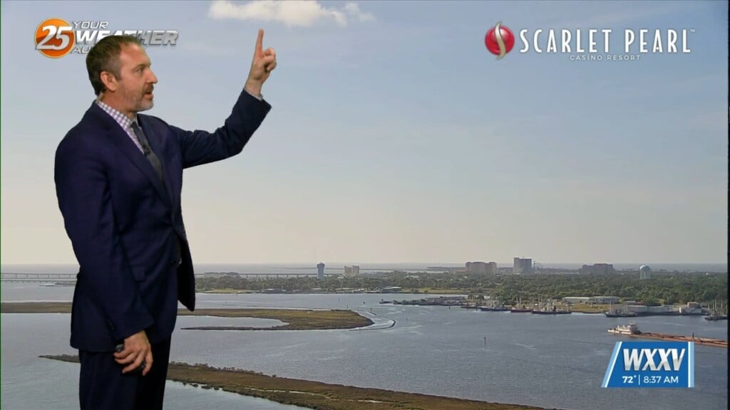
5/26 – Trey Tonnessen’s “Heat Index” Sunday Night Forecast
Meteorologist Trey Tonnessen
Weak ridging is currently over us with a surface high over the Bahamas and extending into the eastern Gulf Of Mexico. Into Monday, a weak upper trough passes to our north providing a focus for potential rain and a bit of a possibility for severe weather, which will be high winds if it does happen. Beyond that, we can expect to see the summertime pattern of spotty afternoon convection. The real point of interest for the short term is going to be the heat. With the Memorial Day observance likely bringing outdoor activities, we are highlighting the high temperatures and humidities driving Apparent Temperatures into the 105+ range. While this is below our Heat Advisory criteria, the combination of first occurrence and high outdoor activities has led to issuance of a Heat Advisory from late morning to early evening tomorrow.