5/24 – Night Rob’s “Heavy Rains Expected” Tuesday Night Forecast
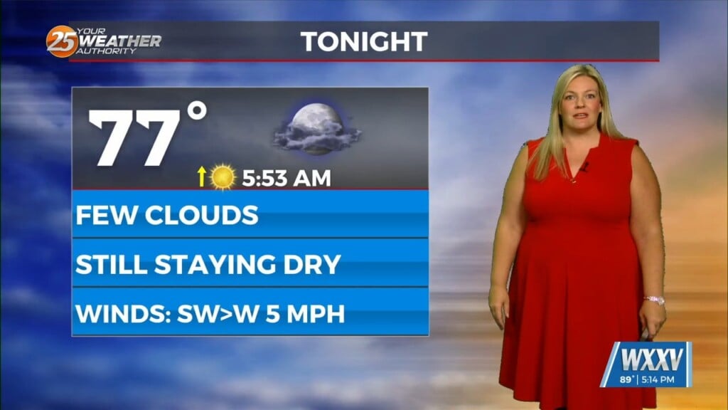
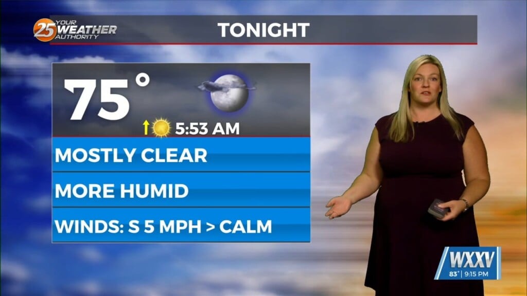
Expect only scattered showers and t-storms into Wednesday morning, although humidity will remain quite high.
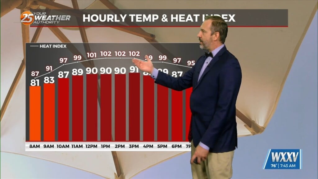
Wednesday and Thursday, however, return to a heavier-hitting pattern. Moisture flow values return to the very high spectrum Wednesday afternoon, and potentially a little higher overnight into Thursday. A strong area of low pressure will move from Colorado to the Ohio Valley by Friday morning. This will push a front slowly across the area Wednesday evening into Thursday morning with the potential for one or more rounds of thunderstorms during that period. Widespread heavy rainfall is likely with this set-up, with an isolated severe storm possible in the mix.
Current indications would see many areas receive 3-5 inches of rain by the time the front moves through. While the area has been in drought for much of the last 6 months, recent rains have soaked in enough to cause a few issues when the next round comes.
There is at least a limited low end threat for severe weather with any of these storms, primarily strong winds. By late Thursday night, the previously mentioned cold front should be well east of the area and into Florida. Surface high pressure and upper ridging quickly builds in behind the front and we will see dry weather return. In fact, lows Thursday night will be quite refreshing, dropping into the low-mid 60s, but very warm afternoon temps will return in what looks to be a sunny Memorial Day weekend.