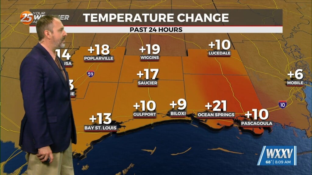
5/2 – The Chief’s “Warm, Blustery Conditions” Friday-Eve Morning Forecast
A disturbance along the NE’tern portion of Texas will continue to eject to the NE moving across the extreme NW portion on Mississippi later this afternoon. Friday rain chances area much healthier area wide with showers and storms gradually spreading over the area in association with a weaker disturbance following along within the persistent west-southwesterly flow of this longwave pattern. Impacts from severe weather and excessive rainfall are overall minimal in association with this system.
The long term looks rather hot and humid as we move deeper into May. Aside from a few glancing blows from ejecting weak disturbances which will provide slight chances of rain in northern areas this weekend, the longwave pattern amplifies once again with a deep west coast weakness enhancing mid-level high pressure overhead. This will keep us rain free, but still entrenched in persistent southeasterly flow at the surface which will continue to pump gulf moisture through the area. High mid-level temps and muggy overnight conditions will also mean the potential for above normal high temperatures well into the upper 80s to low 90s into next week. While not quite record-breaking for most sites, it will certainly be feeling more like we skipped ahead to June.


