5/19 – Jeff Vorick’s “Mainly Dry” Friday Evening Forecast
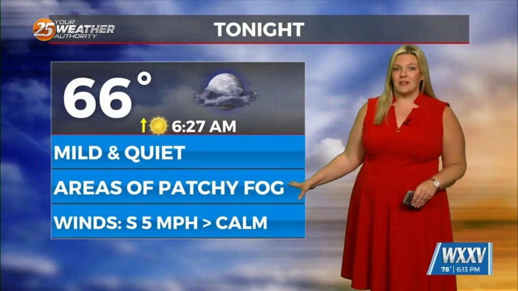
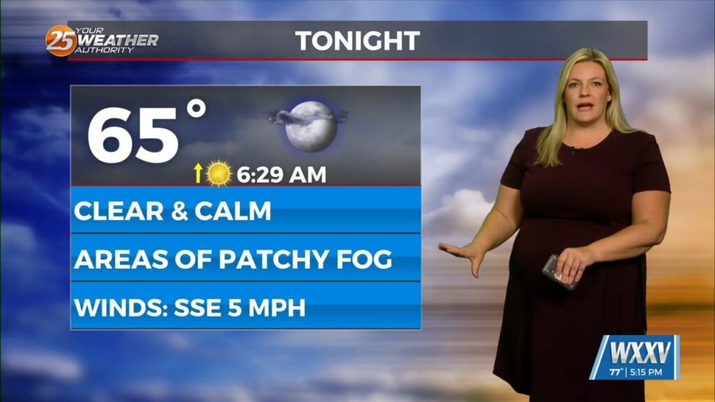
Isolated showers and thunderstorms will come to an end over the next few hours as daytime heating is lost. Expect a mild night with a light southerly wind flow in play. Tomorrow morning could see pop-up showers not unlike earlier today. Temperatures will become hot into the afternoon.
A cold front will be moving in Saturday. If it times out with peak daytime heating, scattered thunderstorm chances will be maximized. For what it’s worth, there also will be the potential for an isolated strong thunderstorm or two. The Storm Prediction Center has a Level 1 of 5 severe thunderstorm risk for our whole area. This is for the potential of strong winds and hail.
The front will stall just offshore which will keep more cloud coverage around Sunday. The airmass will be slightly milder into next week but not much different. The pattern will remain unsettled with rain chances through the middle of the week. A backdoor cold front from our northeast could move in next week which could lead to mild conditions for the end of the week.


