5/12 – Jeff Vorick’s “Warm” Friday Evening Forecast
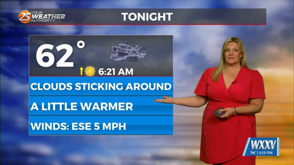
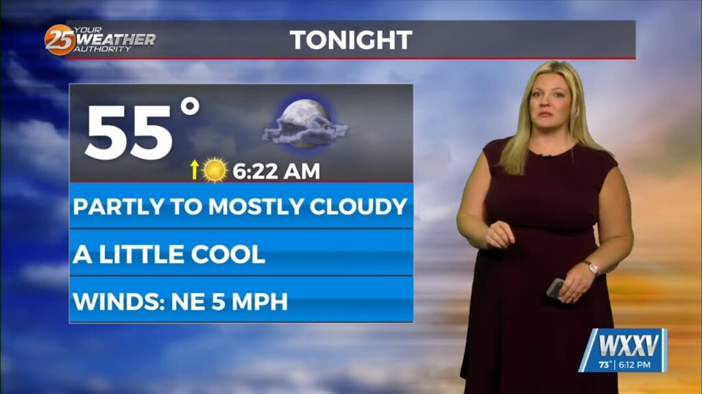
Today was a lot quieter than yesterday. Much more sunshine was seen and temperatures became quite warm. The humid pattern will remain in place for much of the next week. Expect mild temperatures overnight with the potential for light fog to develop. Any shower chances will go away after sunset.
Saturday will be a very warm day with temperatures in the mid-to-upper 80s. Partly cloudy skies, breezy conditions, and a heat index in the lower-90s are on the table. Saturday night into Mother’s Day morning could bring more widespread fog to South Mississippi. Warm conditions will continue and there will be isolated thunderstorm chances Sunday afternoon.
A cold front will be moving into the region next week. Its effects will begin by Monday and potentially carry through much of next week. Thunderstorm chances will be more elevated Monday and Tuesday. The front will then stall across the South which could provide for multiple systems to track along it.


