4/7 – The Chief’s “Wet Easter Weekend” Friday Afternoon Forecast
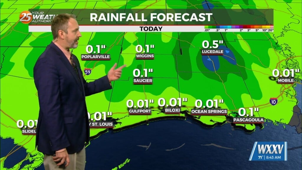
Today, eyes will be focused upstream as a mid-level impulse begins to move near and over the region. This feature along with the surface convergence along the front should generate additional showers and thunderstorms over the region. Models indicate a band of showers/storms developing generally west to east somewhere over the I10/12 corridor with periods of heavy rainfall possible throughout the day. The storm motion favors training with the mean flow generally parallel to the front. With all that in mind, we may end up being under a Flood Watch for flash flooding later today.
Going into tonight and during the day Saturday, started to pull rain chances back a bit. Models, especially as we go through Saturday appear to be continuing the drier trend as the aforementioned front continues downstream. Aloft, a more benign progressive or zonal flow sets up with generally average temperatures and at least drier The long term starts off rather quiet with the continuation of the zonal flow aloft over the region through Easter Sunday. This would indicate continued around average temperatures and a easterly or even northeasterly breeze as high pressure develops over the Mid-Atlantic states and wedges down the Appalachians into the Southeast U.S


