4/26 – Jeff Vorick’s “Changes Arrive” Wednesday Evening Forecast
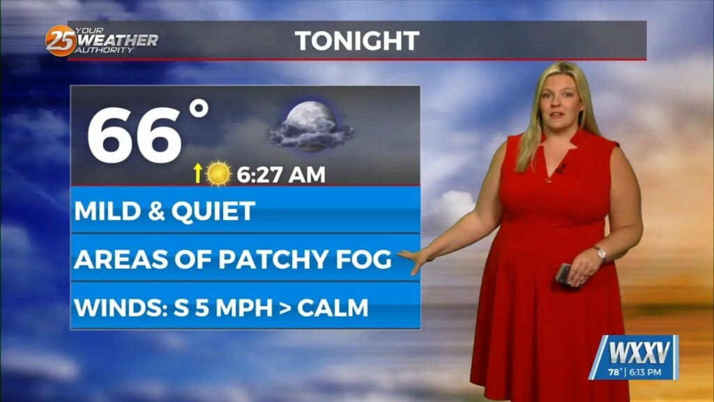
Today has been a lovely, breezy, and warm day across the coast. Clouds have been few and far between while winds are southerly. The southerly flow has helped moisture recover quite well ahead of a storm system in Texas. Its warm front lifted through our area earlier today. Clouds will increase tonight and temperatures will remain mild.
Thunderstorm chances increase late tonight towards daybreak. A line of showers and thunderstorms will make its way into our area by tomorrow morning. Some models have it moving in shortly after sunrise Thursday. Expect thunderstorms with heavy rain and the potential severity for the first half of tomorrow. A Level 2 of 5 risk is in place tomorrow.
There is the potential for damaging wind gusts, small hail, and very isolated tornadic activity with the initial line of thunderstorms. That will push through quickly and be followed by light to moderate rain that could persist into the afternoon. Expect drier conditions into your Friday with nearly clear skies for the afternoon and very warm temperatures.
Eventually, energy on the tail end of tomorrow’s cold front will swing through our area this weekend. Rain chances will be elevated Saturday and Sunday with the potential for efficient rainmakers. A secondary cold front will sweep through to close out the weekend and next week looks to be quiet.


