4/19 – Jeff Vorick’s “Lovely” Wednesday Evening Forecast
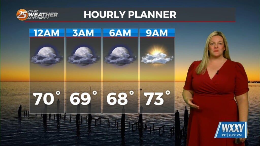
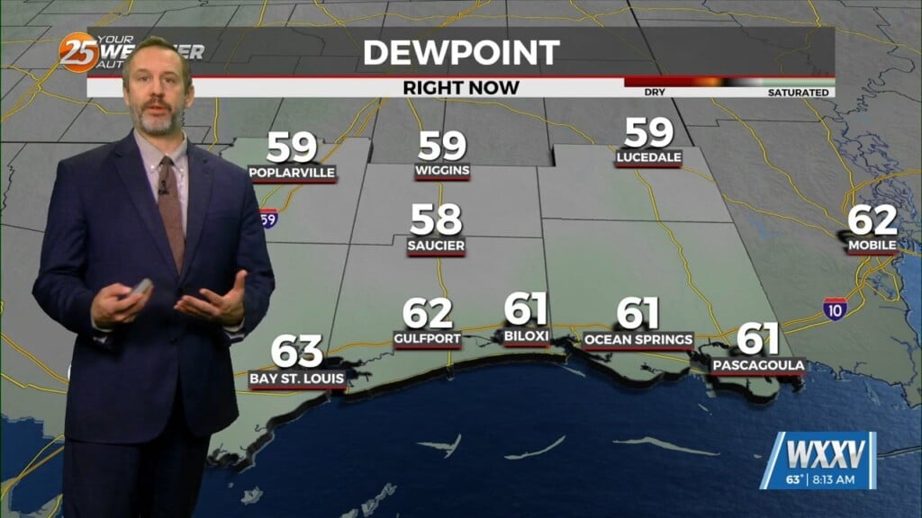
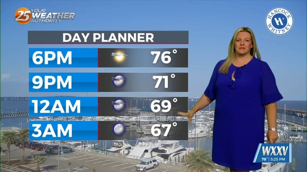
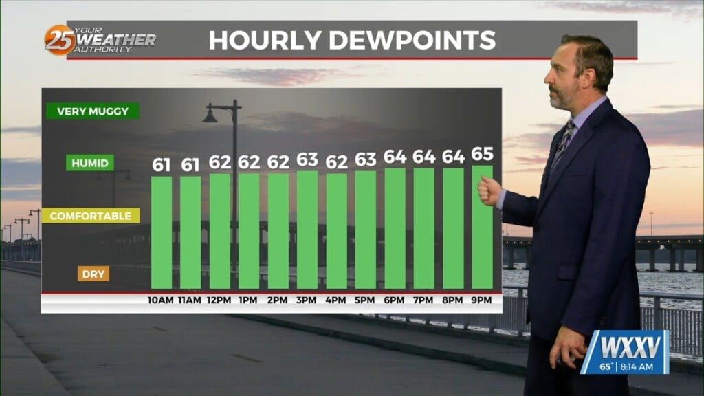
The pattern has moderated to provide for lovely conditions. Temperatures will remain mild overnight as winds will back off to a light southeasterly flow. Some spots could see light fog develop due to the high humidity content of the air. Other than some clouds in the morning, tomorrow will be a beautiful day. Breezy conditions will develop thanks to daytime heating. Clouds will increase Thursday night as a system draping a cold front moves closer to our area.
The cold front will help provide for a complex of thunderstorms to form to our west. It will then move into our area at some point Friday, providing for a round of heavy rain and an isolated strong thunderstorm or two. Timing is still the question but it looks like the safe bet is that the cold front will be a guaranteed end to activity early Saturday.
The cold front will not pack a huge punch in terms of a cool-down. Drier air will work in but chilly temperatures are becoming less likely. There will be a brief quiet period of time this weekend before the pattern potentially gets more active into next week.


