4/17 – The Chief’s “Warm, Humid & Breezy” Wednesday Morning Forecast
High pressure continues across the Gulf of Mexico, with an upper level disturbance noted over southern Minnesota and over Saskatchewan into the Idaho Panhandle. Surface high pressure continues to stretch from near Bermuda across the northern Gulf Coast. A frontal boundary extended from Minnesota into the Texas Panhandle.
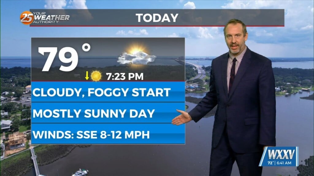
The disturbance well to the north will attempt to suppress high pressure over the Gulf the next couple days, but there isn’t likely to be much impact on the local area. The frontal boundary, even by Thursday evening, will remain north of Interstate 20. Warm weather will continue with highs generally in the 80s and lows in the upper 60s and lower 70s, even with pretty extensive high cloud cover. A frontal boundary will push into the area this weekend and push south of Interstate 20 by Friday night or Saturday. This will provide a bit of a focus for rainfall as early as Saturday morning, but more so from Saturday afternoon into midday Sunday as a stronger disturbance moves across the area. Showers and a few storms will be possible with this feature, but any threat of widespread heavy rain or potential for severe weather looks to be extremely limited at this point. After passage of a cold front on Sunday, cooler and noticeably drier air will arrive for Monday and Tuesday.