4/17 – The Chief’s “High Pressure/Cooler Temps” Monday Morning Forecast
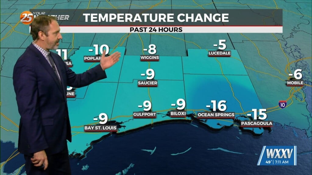
As high pressure will shape the forecast, the next few days is primarily a temps and cloud cover forecast. As the deep closed low continue to pull off to the northeast across the Great Lakes today and into eastern Canada we will slowly transition from weak northwest flow today to more zonal flow overnight and tomorrow. We won’t see much in the way of moderation through at least through Tuesday as we will basically at the base of the high pressure if not removed from its influence. The ridge will be a far more dominant feature across the central and northern Plains and central Canada. At the surface high pressure will continue to build in today and then slowly slide east this will bring a complete collapse of the wind regime later today controlled by diurnal functions with return flow not expected to set back up till Wednesday. This also means moisture will be very slow to return and thus tonight could be another chilly mid-April night.
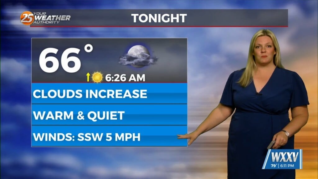
The biggest forecast issue for lows tonight could be high clouds as the subtropical jet works across southern TX but latest guidance suggest it may dive just south of the Lower MS Valley. Also looking at current satellite the cirrus at this time and it doesn’t look thick while also well west of the Baja which it should have already been moving across it. This should set the stage for a rather optimal radiational cooling set up and multiple sites along and north of the 10/12 corridor should see lows in the mid-40s once again.
The extended portion of the forecast is quite cloudy. The models are struggling with the pattern and how to handle the next deep L/w coming out of the Pacific. This is not too unusual especially with currently closed, well west of the Pacific coast, an awful lot of energy on the backside that is still trying to come into the system. The gist of the forecast is we should begin to see decent moderation on Wednesday with moisture returning as well. A low of Polar jet energy still coming into the backside of this should keep things from being too progressive. I would favor a slightly slower solution with any major rain holding off till maybe late Friday or into the weekend.


