4/16 – Jeff Vorick’s “Post-Frontal Passage” Sunday Night Forecast
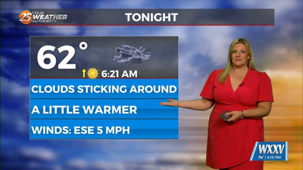
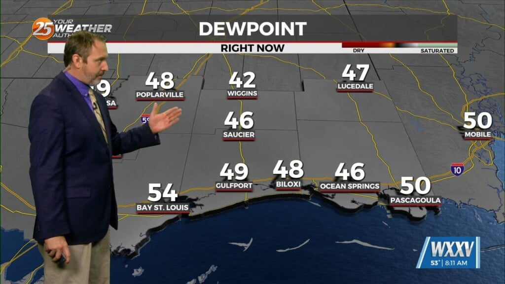
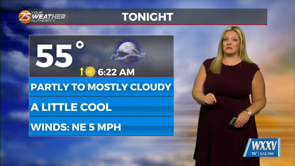
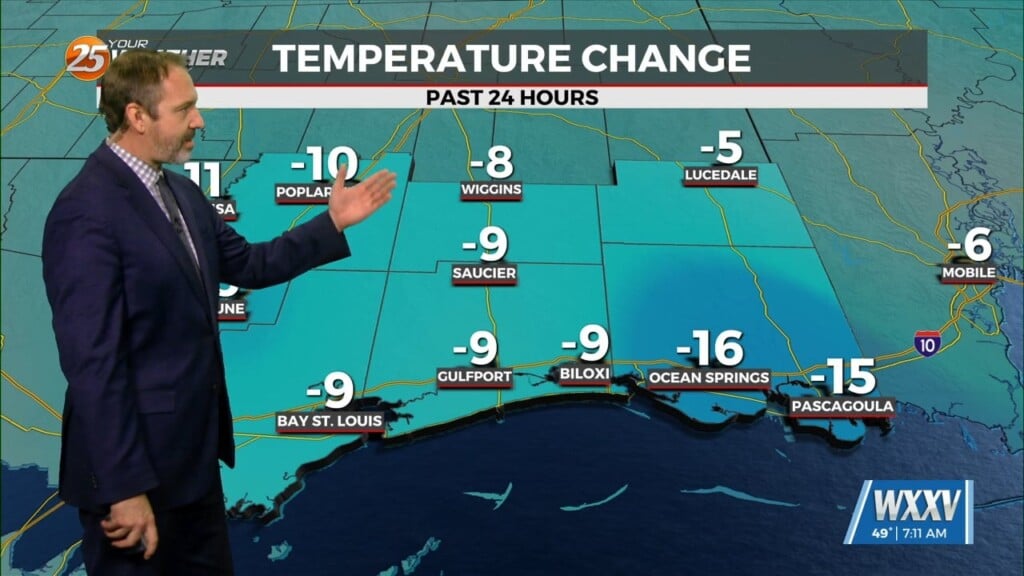
After a rainy first part of this weekend, the cold front swept through bringing clearer skies with it. Northwesterly winds behind it will continue until high pressure gets closer to the area. Tonight will be a cold one by spring standards with 40s possible in some locations.
Tomorrow will feature sunny skies and temperatures climbing into the low 70s. High pressure will get closer to South Mississippi into Tuesday. Upper-level clouds will stream across the area beginning tomorrow night. Return flow begins to set up mid-week, helping to moderate temperatures and moisture levels.
A disturbance will move east along the Gulf Coast which will provide for increasing clouds Wednesday into Thursday. The next appreciable rain chances arrive at the end of the week and will be around this weekend. There is not much certainty on when or where the front will stall out. Friday through the weekend will have elevated rain chances, peaking Saturday as of now.


