4/12 – Jeff’s “Widespread Rain” Wednesday Night Forecast
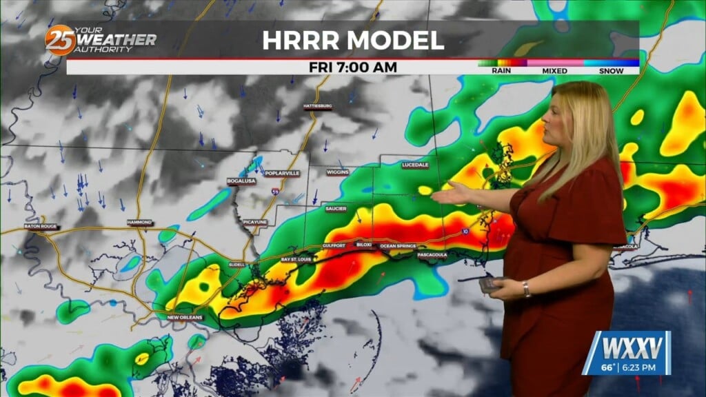
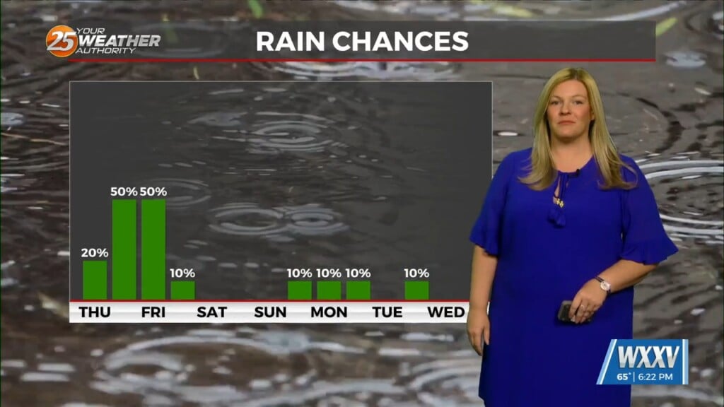
A break in the rainfall occurred during the evening before rain moved back into the picture. Steady rain will continue through much of the night before some dry time before daybreak. As the area of low pressure pulls closer, it will become more favorable for showers and embedded thunderstorms tomorrow.
Thursday morning will feature scattered to numerous thunderstorms around in the morning. Coverage of showers and thunderstorms will lower throughout the day as low pressure moves away. Friday will be a nice spring-like day across our area with partly cloudy skies.
Things change this weekend as energy ahead of a cold front will provide the chance for showers and thunderstorms Saturday. The cold front will push through South Mississippi into Sunday. The latter part of the weekend and first portion of next week look to be seasonal and quiet.


