4/11 – The Chief’s “Warm & Humid Flow” Monday Morning Forecast
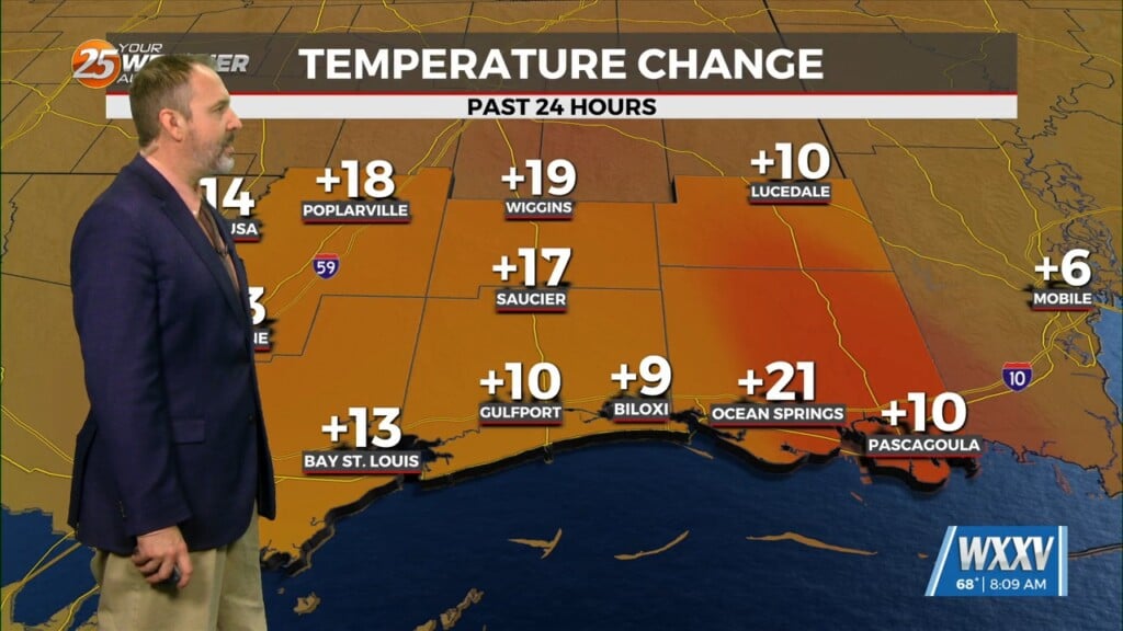
Today, southerly surface winds will help advect moisture and warm air into the area. Low level convergence will help to enhance lifting in the environment. Looking at the models, some isolated showers will be possible this afternoon with the enhancement of daytime heating/instability. Tuesday into Wednesday, a disturbance is expected to move through the area. Southerly surface winds ahead of the system will help enhance moisture and instability in the environment. Numerous showers and storms will be possible Tuesday into Wednesday.
Locally heavy rainfall will be a concern with these storms. Some of these storms could be severe with the main risks being damaging winds and a few tornadoes. Lightning will be a concern as well. Models continue to remain in fairly good agreement with a somewhat active period for the end of the work week and weekend. Overall not expecting any major impacts but multiple rain chances could keep things on the damp side, which will be welcome.
After the system on Wednesday/night pulls away to the north we will fall under zonal flow while late this week high-pressure will try to build over Mexico. The lack of support will cause the cold front to stall Thursday just south of the coast and possibly lifting back to the north as early as midday Friday. Multiple weak disturbances will move across the area with each capable of developing scattered showers and thunderstorms. Luckily there is nothing rather potent at this time suggesting the possibility of heavy rain or severe weather Thursday through the weekend.


