3/8 – The Chief’s “Afternoon/Evening SEVERE POTENTIAL” Friday Morning Forecast
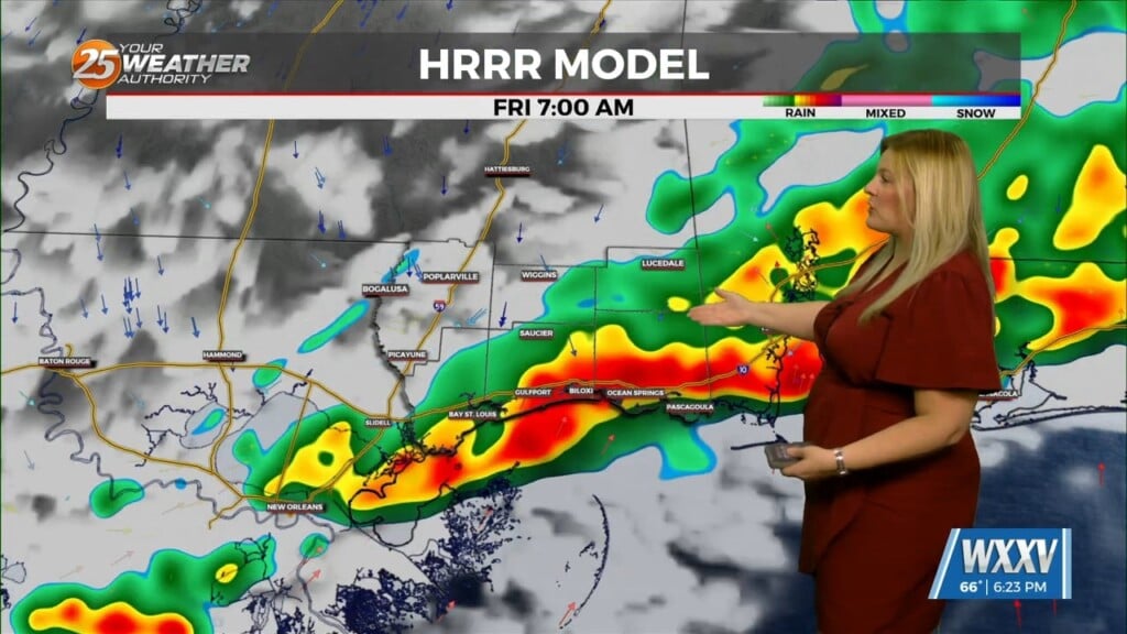
A surface warm front is at the coast moving northward continuing to destabilize the atmosphere. All variables that would support severe storms will also exist today by noon or shortly after. A stratus deck is forming this morning and will eventually cover the area. This will be the first negating issue with getting severe storms. This does not allow much heating, but models showing highest instability values suggest the area could break this deck up enough to get this heating as the warm front moves out of the area. If coupled with heating in the afternoon, then there is a possibility that some of these storms could root in the boundary layer and find several storms with rotation. But will they just be leaving the area (launching pad) or will a few still be in the area. The main area of focus will be the northern half of the area while the northern third of the area looks to have the highest risk.
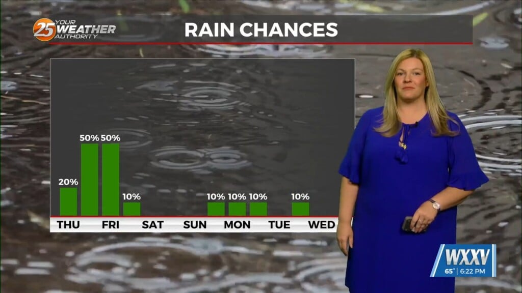
The order of hazards will be tornado, damaging winds, hail, flooding. As the actual cold front moves through, which is well behind the main activity, there could be some fog produced along the boundary as the high behind it is trying to bridge the front. This would be temporary and would develop almost immediately ahead of the frontal passage. Dry cool air spills over the area Sat but cloud cover will be stubborn to leave and there is the possibility of a shower with this cloud cover Saturday morning.


