3/8 – Brittany’s “Midway Through The Workweek” Wednesday Evening Forecast
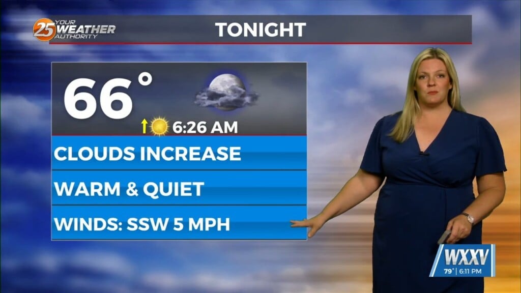
The primary forecast concerns through Thursday night will be the prospect of locally dense fog forming each night, the threat of isolated to widely scattered convection forming in the mid to late afternoon hours near a weakening front draped over portions of southern Mississippi and southern Alabama, and continued near record heat. The near record heat will continue to be driven by a strong mid and upper level ridge axis parked over the Gulf South which has greatly warmed the atmosphere overall. Highs will once again climb into the mid 80s over inland areas and upper 70s and lower 80s over coastal areas tomorrow afternoon, and lows will only dip into the 60s and lower 70s. Overall, have stuck with the NBM 50th percentile to populate temperatures through the short term periods.
Persistent onshore flow will keep humidity levels elevated, and this high humidity will work in conjunction with light boundary layer winds and temperatures cooling below the cross-over values in the mid 60s to induce fog development tonight and tomorrow night. Some of the fog could turn dense at times, and a dense fog advisory may issued again later tonight. The high humidity and warm daytime temperatures will also allow for a decent amount of low level instability to occur each afternoon. A dissipating frontal boundary extending across the Pine Belt region of southern Mississippi and southern Alabama will serve as a focus for widely scattered weak shower and thunderstorm activity both early this evening and again tomorrow afternoon. Fortunately, the severe threat is minimal due to a lack of favorable wind shear.


