3/6 – Jeff’s “Isolated Showers” Monday Afternoon Forecast
A stationary front near our area is providing just enough lift for 30% coverage of isolated showers this afternoon. Warm and humid conditions are returning to our area as a strong ridge of high pressure builds back in east of the continental divide. Skies will be clearing out towards the latter half of the afternoon, and into the evening.
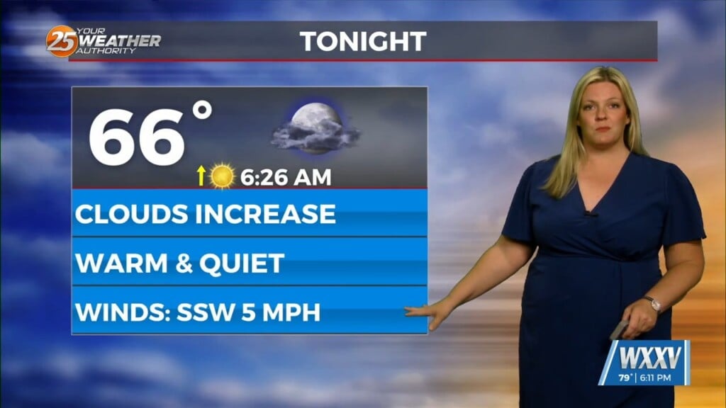
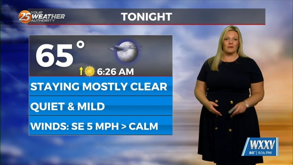
Mild and muggy conditions will be back in the picture tonight. Dense fog has the potential to develop across our area. Tomorrow will be slightly warmer than today due to more sunshine. Temperatures will reach into the 80s under an average of partly cloudy skies. A 20% chance of isolated, pop-up showers cannot be ruled out Tuesday through Thursday.
As the ridge of high pressure breaks down later this week, this will allow for the storm track to sag southward. A cold front will move through our area Friday. Rain chances will elevate to around 40-50%. The front looks to stall just past our area, then spawn a stronger system that could bring a potent cool-down next week. Details on the second system will be ironed out the closer we get to this weekend.


