3/27 – Jeff’s “Wet & Stormy” Monday Afternoon Forecast
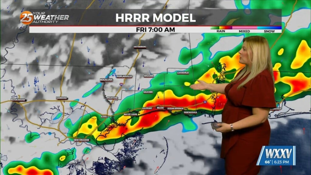
Thunderstorms, some strong to severe at times are moving through the area this afternoon. They have been capable of producing hail and strong winds. Coverage and intensity of the activity will diminish this afternoon. Still cannot rule out isolated showers and thunderstorms with daytime heating later on.
It will remain unsettled until tomorrow. There is a 70% chance of thunderstorms tonight, particularly toward daybreak. A round of showers and thunderstorms, with the potential of them being on the strong side will move through coastal Mississippi. A cold front will eventually clear the area late Tuesday into Wednesday.
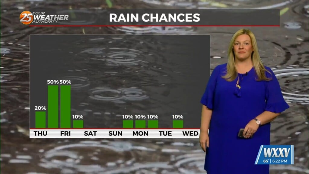
Dry time and clearer skies will eventually filter in towards the middle of the workweek as an area of high pressure will transition the region. A system is poised to track northeast out of the Rockies towards the end of the week, bringing a cold front and rain chances this weekend.


