3/25 – The Chief’s “Afternoon/Evening Severe Potential” Monday Morning Forecast
Anticipate multiple potential hazards in the first 24 hours of the forecast before the weather quiets down for a while.
Low pressure over western Kansas this morning will move northeast to Lake Superior by Tuesday evening as the southern Rockies impulse gets pulled northeastward by an upper low pressure over the Canadian Prairie Provinces. The strong pressure gradient between the East Coast high and the low over Kansas will continue to pump moisture northward into the area on the strength of a 50+ knot low level jet. It looks like the best dynamics will be to the north of the area. We’ll be watching the development of a complex of t-storms to our west late this afternoon. The main line is expected to move across the local area during the evening and overnight hours, with most or all of the thunderstorms moving into Alabama by sunrise Tuesday.
Heavy rainfall will also be a threat, especially in areas that see supercells develop in advance of the line. Areal average rainfall amounts are expected to be around 1.5 inches, but spot higher amounts are likely, especially across southwest Mississippi. The other significant concern will be strong gradient winds. Already starting to see wind gusts in the 20 to 30 mph range over portions of southeast Louisiana, and those will get stronger during the day. Sustained winds as high as 25 mph, with occasional gusts near or above 40 mph should become common by midday, and plan no changes to the Wind Advisory. Additionally, the onshore winds will raise water levels on southeast and south facing shorelines today, potentially causing minor coastal flooding in some areas.
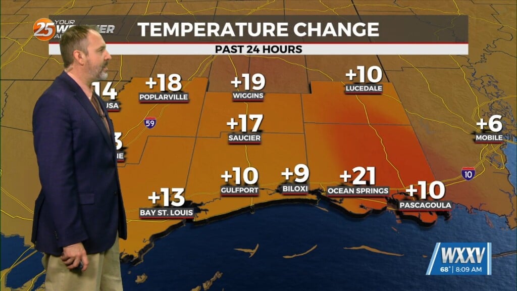
Temperature forecast will be a bit tricky in the short term. Clouds today are likely to hold highs in the mid-70s, but if any significant breaks in the clouds develop, temperatures near 80 or higher become more likely. This would also lead to destabilizing the airmass and potentially more, stronger storms. Overnight lows will be dependent on timing of the passage of the trough/front. Highs Tuesday afternoon should actually be higher than today, if we get sunshine.


